Dunn in Harnett County, North Carolina — The American South (South Atlantic)
Battle of Averasboro
Union Route to Bentonville
— Carolinas Campaign —
(Preface): The Carolinas Campaign began on February 1, 1865, when Union Gen. William T. Sherman led his army north from Savannah, Georgia, after the “March to the Sea.” Sherman’s objective was to join Gen. Ulysses S. Grant in Virginia to crush Gen. Robert E. Lee’s Army of Northern Virginia. Scattered Confederate forces consolidated in North Carolina, the Confederacy’s logistical lifeline, where Sherman defeated Gen. Joseph E. Johnston’s last-ditch attach at Bentonville. After Sherman was reinforced at Goldsboro late in March, Johnston saw the futility of further resistance and surrendered on April 26, essentially ending the Civil War.
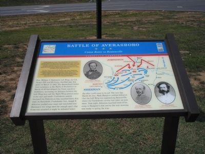
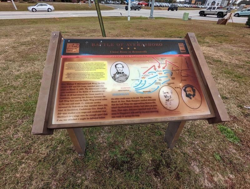
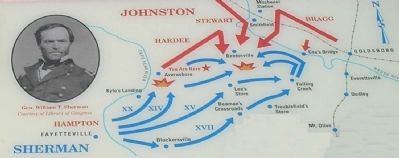
Gen. William T. Sherman’s Left Wing, the U.S. Army’s XIV and XX Corps, marched past this point on March 17, 1865. The determined Confederate resistance at the Battle of Averasboro on March 15-16 had delayed the Union march to Goldsboro, increasing the distance between the Left Wing here and the Right Wing several miles to the east and south. Confederate cavalry harassed the Federals as they marched down this road. At Smithfield, Confederate Gen. Joseph E. Johnston studied area maps and concluded that Sherman’s two wings were far enough apart that if one was attacked it might be defeated before the other could come to its aid. The next day, March 18, Gen. Wade Hampton notified Johnston that the Left Wing was approaching Bentonville, where Confederate cavalry had taken up positions. That night, Johnston marched most of his army to Hampton’s side and by the next morning was ready to spring the trap.
Erected by North Carolina Civil War Trails.
Topics and series. This historical marker is listed in this topic list: War, US Civil. In addition, it is included in the North Carolina Civil War Trails series list. A significant historical month for this entry is February 1860.
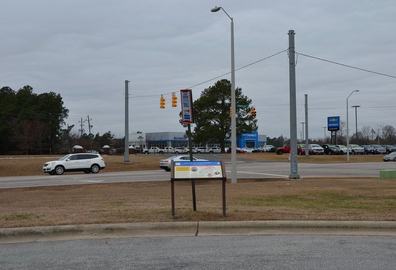
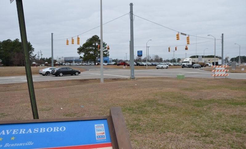
Location. 35° 17.544′ N, 78° 35.76′ W. Marker has been damaged. Marker is in Dunn, North Carolina, in Harnett County. Marker is at the intersection of Harnett-Dunn Highway (U.S. 55) and Paul Green Memorial Highway (North Carolina Highway 421), on the left when traveling east on Harnett-Dunn Highway. Link
for 'Directions' is wrong and point on your map is wrong. I looked at the picture provided and noticed Bleecker Chevrolet in the picture. Then I looked on Google street view and found the marker across the street. Marker is in the parking lot of the Food Lion at 1209 US-421, Dunn, North Carolina. It is at the corner of Hwy 55 and Hwy 421 just like the text indicates. GPS coordinates: 35.29237234716534, -78.59582650083695. Touch for map. Marker is in this post office area: Dunn NC 28334, United States of America. Touch for directions.
Other nearby markers. At least 8 other markers are within 5 miles of this location, measured as the crow flies. Link Wray (approx. 1.2 miles away); G. B. Cashwell (approx. 1.3 miles away); William C. Lee (approx. 1½ miles away); a different marker also named Battle of Averasboro (approx. 2.1 miles away); Sherman's March (approx. 2.1 miles away); Draughon Cross Roads (approx. 3.1 miles away); "Lebanon" (approx. 4½ miles away); a different marker also named Battle of Averasboro (approx. 4.6 miles away). Touch for a list and map of all markers in Dunn.
More about this marker. The marker displays portraits of Gens. Sherman, Johnston, and Hampton around a campaign map depicting the movements described in the text.
Also see . . . Battle of Averasboro. Civil War Album offers several pages of photos from the Averasboro battlefield. (Submitted on January 28, 2008, by Craig Swain of Leesburg, Virginia.)
Credits. This page was last revised on November 23, 2022. It was originally submitted on January 28, 2008, by Bill Coughlin of Woodland Park, New Jersey. This page has been viewed 2,202 times since then and 30 times this year. Last updated on November 21, 2022, by john G debinder of Cary, nc, United States. Photos: 1. submitted on January 28, 2008, by Bill Coughlin of Woodland Park, New Jersey. 2. submitted on November 12, 2022, by Michael Buckner of Durham, North Carolina. 3, 4. submitted on January 24, 2017, by Karl Stelly of Gettysburg, Pennsylvania. 5. submitted on January 28, 2008, by Bill Coughlin of Woodland Park, New Jersey. • Bill Pfingsten was the editor who published this page.
