Fredericksburg, Virginia — The American South (Mid-Atlantic)
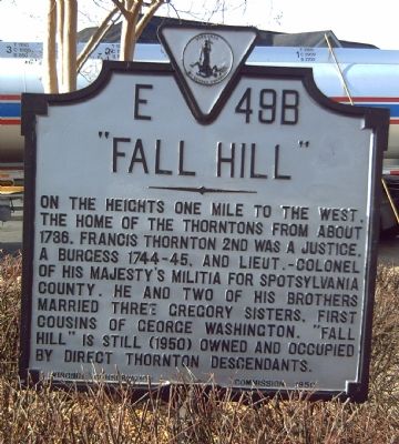
“Fall Hill”
Erected 1950 by Virginia Conservation Commission. (Marker Number E-49B.)
Topics and series. This historical marker is listed in these topic lists: Colonial Era • Notable Buildings. In addition, it is included in the Virginia Department of Historic Resources (DHR) series list. A significant historical year for this entry is 1736.
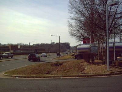
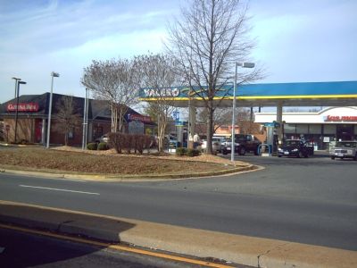
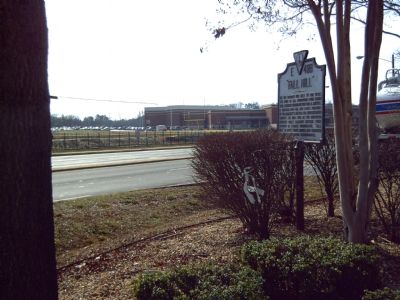
Location. 38° 18.845′ N, 77° 28.509′ W. Marker is in Fredericksburg, Virginia. Marker is at the intersection of Jefferson Davis Highway (U.S. 1) and Fall Hill Avenue, on the right when traveling north on Jefferson Davis Highway. Touch for map. Marker is in this post office area: Fredericksburg VA 22401, United States of America. Touch for directions.
Other nearby markers. At least 8 other markers are within walking distance of this marker. A different marker also named “Fall Hill” (within shouting distance of this marker); A Diversion: Second Battle of Fredericksburg (approx. 0.2 miles away); Elmhurst (approx. 0.3 miles away); Industrial Interlude (approx. 0.3 miles away); Carl's (approx. 0.3 miles away); Veterans of Foreign Wars Eternal Flame (approx. 0.3 miles away); Killed in Action Memorials (approx. 0.3 miles away); Amoroleck Encounters John Smith (approx. 0.3 miles away). Touch for a list and map of all markers in Fredericksburg.
More about this marker. There are two near identical markers across Jefferson Davis Highway (US Route 1) from each other. Both have the same title and text, but their designation numbers are E-49A (East Side of Rt 1) and E-49B (West Side of Route 1).
Credits. This page was last revised on February 2, 2023. It was originally submitted on February 2, 2008, by Kevin W. of Stafford, Virginia. This page has been viewed 1,653 times since then and 57 times this year. Photos: 1, 2, 3, 4. submitted on February 2, 2008, by Kevin W. of Stafford, Virginia.


