Woodmont in Arlington in Arlington County, Virginia — The American South (Mid-Atlantic)
Fort C.F. Smith
Defending the Capital
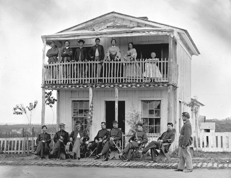
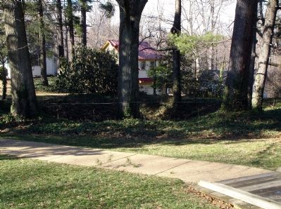
Fort C.F. Smith was built complete with barracks, mess halls, kitchens, officers’ quarters, a barn and a headquarters building. When the fort was decommissioned in 1865, all of these accessory buildings were removed. No visible above-ground evidence of these buildings remains today.
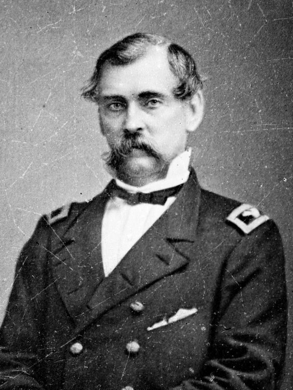
(Sidebar): Charles Ferguson Smith was born in Philadelphia on April 24, 1807, and graduated from the U.S. Military Academy in 1825. Later, while he was commandant there, two of his students were Ulysses S. Grant and William T. Sherman. Smith also fought in the Mexican War (1846-1848) and, after the outbreak of the Civil War, was promoted to brigadier general. On February 15, 1862, during Gen. Ulysses S. Grant’s siege of Fort Donelson, Tennessee, Smith’s division breached the defenses and prompted the Confederate surrender. When Grant was asked for terms, Smith suggested “unconditional and immediate surrender,” a phrase that made “Unconditional Surrender Grant” famous throughout the North. Smith, promoted to major general on March 21, 1862, temporarily commanded the army when Grant was accused of drunkenness. Smith died on April 25, 1862, after a seemingly minor non-combatant injury.
Erected by Virginia Civil War Trails.
Topics and series. This historical marker is listed in these topic lists: Forts and Castles • War, US Civil. In addition, it is included in the Chesapeake and Ohio (C&O) Canal, the Defenses of Washington, the Former U.S. Presidents: #18 Ulysses S. Grant, and the Virginia Civil War Trails series lists. A significant historical month for this entry is February 1725.
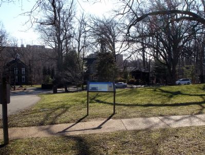
Location. This marker has been replaced by another marker nearby. It was located near 38° 54.08′ N, 77° 5.307′ W. Marker was in Arlington, Virginia, in Arlington County. It was in Woodmont. Marker could be reached from 24th Street North. Marker is in Fort C.F. Smith Park. Touch for map. Marker was at or near this postal address: 2411 24th Street North, Arlington VA 22207, United States of America. Touch for directions.
Other nearby markers. At least 8 other markers are within walking distance of this location. A different marker also named Fort C.F. Smith (a few steps from this marker); a different marker also named Fort C.F. Smith (about 700 feet away, measured in a direct line); a different marker also named Fort C.F. Smith (about 700 feet away); a different marker also named Fort C.F. Smith (about 800 feet away); The Dawson-Bailey House (approx. 0.3 miles away); The Dawson-Bailey Spring Site (approx. 0.4 miles away); The Bay-Eva Castle Site (approx. 0.4 miles away); Fort Strong (approx. 0.4 miles away). Touch for a list and map of all markers in Arlington.
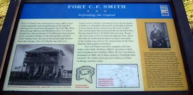
More about this marker. On the lower left of marker is a photo captioned "Fort C.F. Smith Headquarters, 2nd New York, August, 1865 -Courtesy Library of Congress" and on the upper right is a photo of Charles Ferguson Smith. The marker also features a sketch captioned "Barnard Sketch of Fort C.F. Smith" and a map captioned "Barnard topographic map showing northwest portions of the Arlington Line (1871).
Related marker. Click here for another marker that is related to this marker. This
marker has replaced the linked marker which had slightly different content.
Also see . . . Walking Tour (PDF file). Fort C.F. Smith Park Walking Tour Brochure (Submitted on February 2, 2008.)
Credits. This page was last revised on February 1, 2023. It was originally submitted on February 2, 2008. This page has been viewed 2,512 times since then and 74 times this year. Photos: 1, 2. submitted on February 2, 2008. 3, 4. submitted on October 17, 2020, by Allen C. Browne of Silver Spring, Maryland. 5. submitted on February 2, 2008. • Craig Swain was the editor who published this page.
