Downtown Las Vegas in Clark County, Nevada — The American Mountains (Southwest)
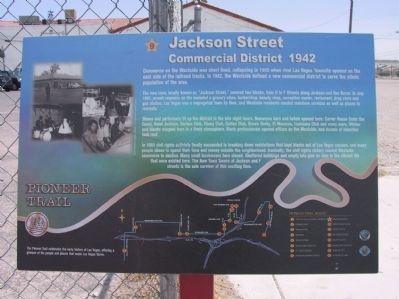
Jackson Street Commercial District
1942
The new zone, locally known as "Jackson Street," covered two blocks, from D to F Streets along Jackson and Van Buren. In July 1942, permit requests on file included a grocery store, barbershop, beauty shop, recreation center, restaurant, drug store and gas station. Las Vegas was a segregated town by then, and Westside residents needed mundane services as well as places to recreate.
Shows and performers lit up the district in the late night hours. Numerous bars and hotels opened here: Carver House (later the Cove), Hotel Jackson, Harlem Club, Ebony Club, Cotton Club, Brown Derby, El Morocco, Lousiana Club and many more. Whites and blacks mingled here in a lively atmosphere. Black professionals opened offices on the Westside, and dozens of churches took root.
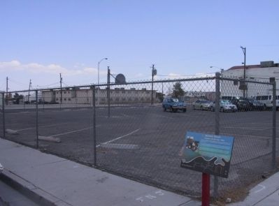
In 1960 civil rights activists finally succeeded in breaking down restrictions that kept blacks out of Las Vegas casinos, and many people chose to spend their time and money outside the neighborhood. Ironically, the civil rights victory caused Westside commerce to decline. Many small businesses here closed. Shuttered buildings and empty lots give no clue to the vibrant life that once existed here. The New Town Tavern at Jackson and F streets is the sole survivor of this exciting time.
Erected by the City of Las Vegas, Clark County, Preserve America & the Southern Nevada Public Lands Management Act. (Marker Number 9.)
Topics. This historical marker is listed in these topic lists: African Americans • Industry & Commerce. A significant historical month for this entry is July 1942.
Location. 36° 11.148′ N, 115° 8.93′ W. Marker is in Las Vegas, Nevada, in Clark County. It is in Downtown Las Vegas. Marker is at the intersection of Jackson Avenue and F Street, on the right when traveling east on Jackson Avenue. Touch for map. Marker is in this post office area: Las Vegas NV 89106, United States of America. Touch for directions.
Other nearby markers. At least 8 other markers are within walking distance of this marker. Christensen House "The Castle" (about 400 feet away, measured in a direct line); Moody House (about 600 feet away); Harrison Boarding House (approx. ¼ mile away); Westside School (approx. 0.4 miles away); St. James the Apostle (approx. 0.4 miles away); McWilliams' Townsite (approx. half a mile away); Las Vegas Paiute Colony (approx. 0.6 miles away); Moulin Rouge (approx. 0.7 miles away). Touch for a list and map of all markers in Las Vegas.
Related markers. Click here for a list of markers that are related to this marker. The Pioneer Trail - West Las Vegas
Also see . . . Jackson Street Commercial District page for www.LasVegasPioneerTrail.com. Visit the www.LasVegasPioneerTrail.com to learn more about the Jackson Street Commercial District (Submitted on October 31, 2020, by Deuce Brandt of North Las Vegas, Nevada.)
Credits. This page was last revised on February 7, 2023. It was originally submitted on December 8, 2011, by Michael Kindig of Elk Grove, California. This page has been viewed 1,150 times since then and 42 times this year. Last updated on December 28, 2011, by Michael Kindig of Elk Grove, California. Photos: 1, 2. submitted on December 8, 2011, by Michael Kindig of Elk Grove, California. • Syd Whittle was the editor who published this page.

