Lancaster in Lancaster County, Pennsylvania — The American Northeast (Mid-Atlantic)
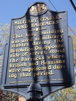
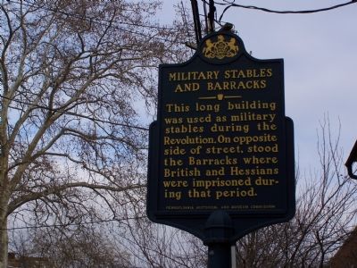
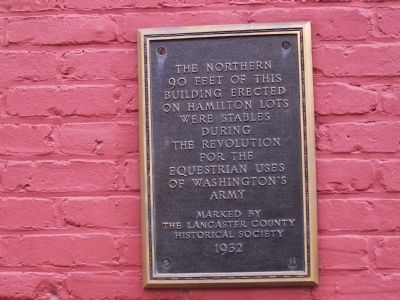
Military Stables and Barracks
Erected 1950 by Pennsylvania Historical and Museum Commission.
Topics and series. This historical marker is listed in these topic lists: Animals • Military • Notable Buildings • War, US Revolutionary. In addition, it is included in the Pennsylvania Historical and Museum Commission series list.
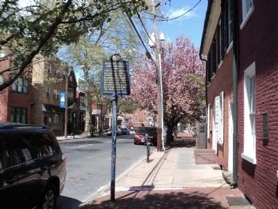
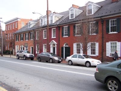
Location. 40° 2.593′ N, 76° 18.272′ W. Marker is in Lancaster, Pennsylvania, in Lancaster County. Marker is on N. Duke Street, on the left when traveling south. Touch for map. Marker is at or near this postal address: 307 N Duke Street, Lancaster PA 17603, United States of America. Touch for directions.
Other nearby markers. At least 8 other markers are within walking distance of this marker. Revolutionary War Stables (here, next to this marker); Pennsylvania Medical Society (within shouting distance of this marker); Simon Snyder (about 600 feet away, measured in a direct line); Veterans Memorial (approx. 0.2 miles away); Vietnam War Veterans Memorial (approx. 0.2 miles away); World War II Merchant Marine Veterans Memorial (approx. 0.2 miles away); Civil War Veterans Memorial (approx. 0.2 miles away); Korean War Veterans Memorial (approx. 0.2 miles away). Touch for a list and map of all markers in Lancaster.
Credits. This page was last revised on June 16, 2016. It was originally submitted on February 3, 2008, by Bill Pfingsten of Bel Air, Maryland. This page has been viewed 2,274 times since then and 40 times this year. Photos: 1. submitted on April 12, 2012, by Bill Coughlin of Woodland Park, New Jersey. 2. submitted on February 3, 2008, by Bill Pfingsten of Bel Air, Maryland. 3. submitted on April 12, 2012, by Bill Coughlin of Woodland Park, New Jersey. 4, 5. submitted on February 3, 2008, by Bill Pfingsten of Bel Air, Maryland.
