Bridgeport in Belmont County, Ohio — The American Midwest (Great Lakes)
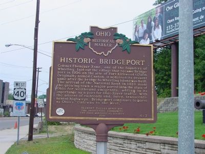
Historic Bridgeport
Erected 2001 by the Belmont Eagles Aerie 995, The Bridgeport Community, The Ohio Historical Society. (Marker Number 4-7.)
Topics and series. This historical marker is listed in these topic lists: Bridges & Viaducts • Political Subdivisions • Roads & Vehicles • Settlements & Settlers. In addition, it is included in the Ohio Historical Society / The Ohio History Connection, and the The Historic National Road series lists. A significant historical year for this entry is 1806.
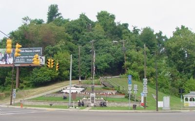
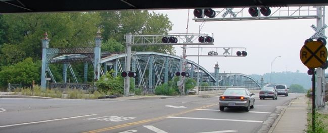
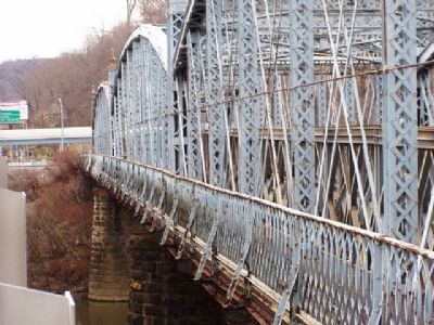
Location. 40° 4.349′ N, 80° 44.466′ W. Marker is in Bridgeport, Ohio, in Belmont County. Marker is at the intersection of Main Street (U.S. 40) and Lincoln Avenue (Ohio Route 7), on the right when traveling west on Main Street. U.S. 250, the Cadiz Pike, joins U.S. 40 here to cross to West Virginia. Touch for map. Marker is in this post office area: Bridgeport OH 43912, United States of America. Touch for directions.
Other nearby markers. At least 5 other markers are within walking distance of this marker. Veterans Memorial (a few steps from this marker); The National Historic Road in Ohio (a few steps from this marker); Camp Carlile (approx. ¼ mile away in West Virginia); a different marker also named Camp Carlile (approx. ¼ mile away in West Virginia); a different marker also named Camp Carlile (approx. ¼ mile away in West Virginia). Touch for a list and map of all markers in Bridgeport.
More about this marker. Lincoln Avenue proper (State Route 7) is elevated as it crosses this intersection. This intersection is with a piece of the old Lincoln Avenue, which is now an extension of the southbound off-ramp.
Also see . . . Transportation and athletes important part of Bridgeport's legacy. Article in the Martins Ferry Times Leader. (Submitted on September 3, 2006.)
Credits. This page was last revised on July 14, 2019. It was originally submitted on September 3, 2006, by J. J. Prats of Powell, Ohio. This page has been viewed 3,173 times since then and 80 times this year. Photos: 1, 2, 3. submitted on September 3, 2006, by J. J. Prats of Powell, Ohio. 4. submitted on May 4, 2007, by Christopher Light of Valparaiso, Indiana.


