French Quarter in New Orleans in Orleans Parish, Louisiana — The American South (West South Central)
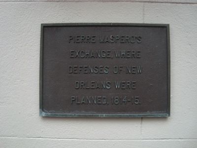
Pierre Maspero’s Exchange
Topics. This historical marker is listed in this topic list: War of 1812.
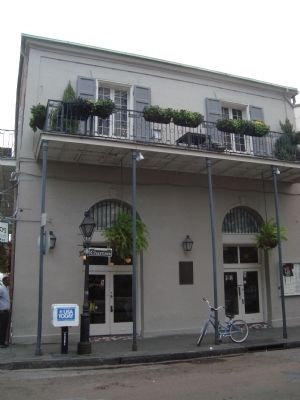
Location. 29° 57.345′ N, 90° 3.914′ W. Marker is in New Orleans, Louisiana, in Orleans Parish. It is in the French Quarter. Marker is on Saint Peter Street near Chartres Street. Touch for map. Marker is at or near this postal address: 540 Saint Peter Street, New Orleans LA 70130, United States of America. Touch for directions.
Other nearby markers. At least 8 other markers are within walking distance of this marker. Girod House (a few steps from this marker); Le Chevalier de Pradel - Jean Charles de Pradel de Lamaze (a few steps from this marker); St. Louis Hotel (within shouting distance of this marker); Nicholas Bertoli Building (within shouting distance of this marker); Louis J. Dufilho (within shouting distance of this marker); Jean Adrien Delpit House (within shouting distance of this marker); Homesite of Oliver Pollock (within shouting distance of this marker); Judge Fred J. Cassibry Square (about 300 feet away, measured in a direct line). Touch for a list and map of all markers in New Orleans.
Also see . . .
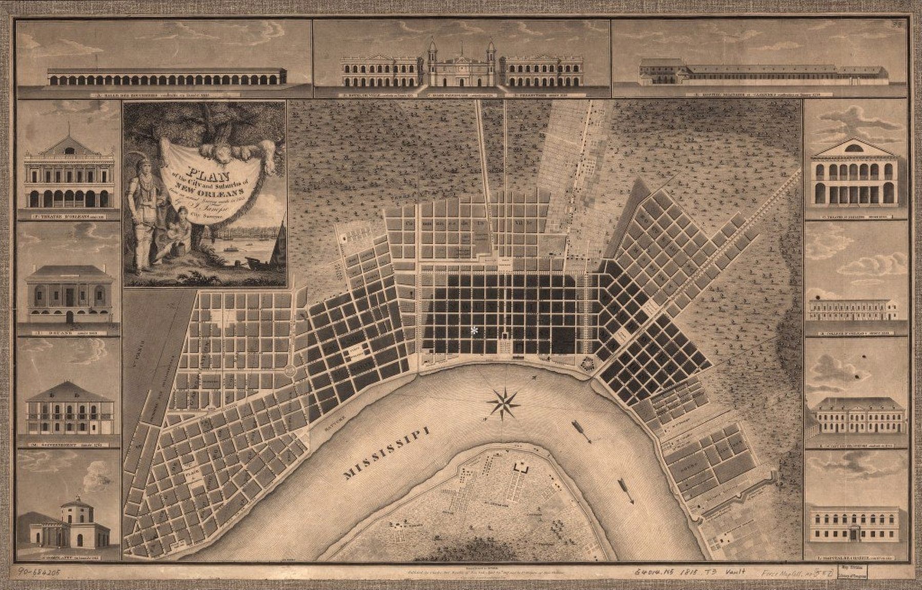
1. Maspero’s Coffee House and the Battle of New Orleans. New Orleans Historical website entry:
Stop 6 of 10 in the Battle of New Orleans tour (Submitted on April 16, 2021, by Larry Gertner of New York, New York.)
2. Battle of New Orleans. Wikipedia entry (Submitted on April 16, 2021, by Larry Gertner of New York, New York.)
Credits. This page was last revised on February 12, 2023. It was originally submitted on January 12, 2012, by Barry Swackhamer of Brentwood, California. This page has been viewed 867 times since then and 25 times this year. Photos: 1, 2. submitted on January 12, 2012, by Barry Swackhamer of Brentwood, California. 3. submitted on April 16, 2021, by Larry Gertner of New York, New York. • Craig Swain was the editor who published this page.
Editor’s want-list for this marker. A wide view photo of the marker and the surrounding area in context. • Can you help?


