Visalia in Tulare County, California — The American West (Pacific Coastal)
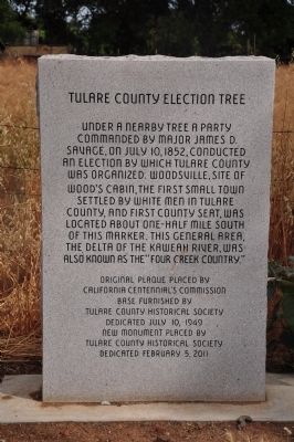
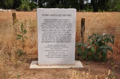
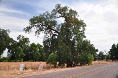
Tulare County Election Tree
Erected 2001 by Tulare County Historical Society. (Marker Number 410.)
Topics and series. This historical marker is listed in these topic lists: Government & Politics • Notable Places • Settlements & Settlers. In addition, it is included in the California Historical Landmarks series list. A significant historical date for this entry is July 10, 1852.
Location. 36° 21.506′ N, 119° 10.586′ W. Marker is in Visalia, California, in Tulare County. Marker is on Charter Oak Drive, on the right when traveling east. Touch for map. Marker is at or near this postal address: 17575 Charter Oak Drive, Visalia CA 93292, United States of America. Touch for directions.
Other nearby markers. At least 8 other markers are within 7 miles of this marker, measured as the crow flies. Venice School (approx. 0.3 miles away); San Joaquin Roller Mill (approx. 2.2 miles away); Farmersville (approx. 4˝ miles away); The Electric Railroad (approx. 4.6 miles away); Woodlake (approx. 5.9 miles away); Packwood Station (approx. 6.4 miles away); Camp Babbitt (approx. 6.4 miles away); The Hanging of J.G. McCrory (approx. 6˝ miles away). Touch for a list and map of all markers in Visalia.
Regarding Tulare County Election Tree. This is California Historical Landmark No. 410. There was an original plaque placed by the California Centennial Commission with the base being furnished by the Tulare County Historical Society on July 10, 1949. The plaque was destroyed by vandals. This replacement was dedicated on February 5, 2011.
Credits. This page was last revised on May 1, 2020. It was originally submitted on January 13, 2012, by Michael Kindig of Elk Grove, California. This page has been viewed 1,001 times since then and 29 times this year. Last updated on May 1, 2020, by Craig Baker of Sylmar, California. Photos: 1, 2, 3. submitted on January 13, 2012, by Michael Kindig of Elk Grove, California. • Syd Whittle was the editor who published this page.


