Central Business District in New Orleans in Orleans Parish, Louisiana — The American South (West South Central)
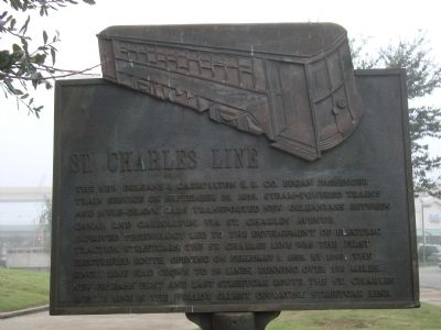
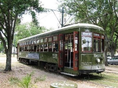
St. Charles Line
Topics. This historical marker is listed in this topic list: Railroads & Streetcars. A significant historical month for this entry is September 1861.
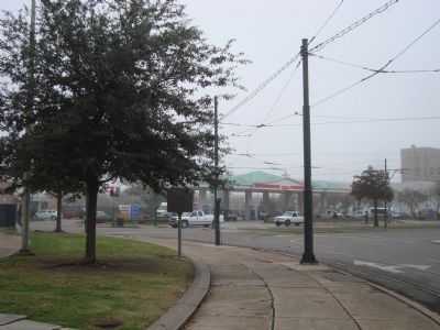
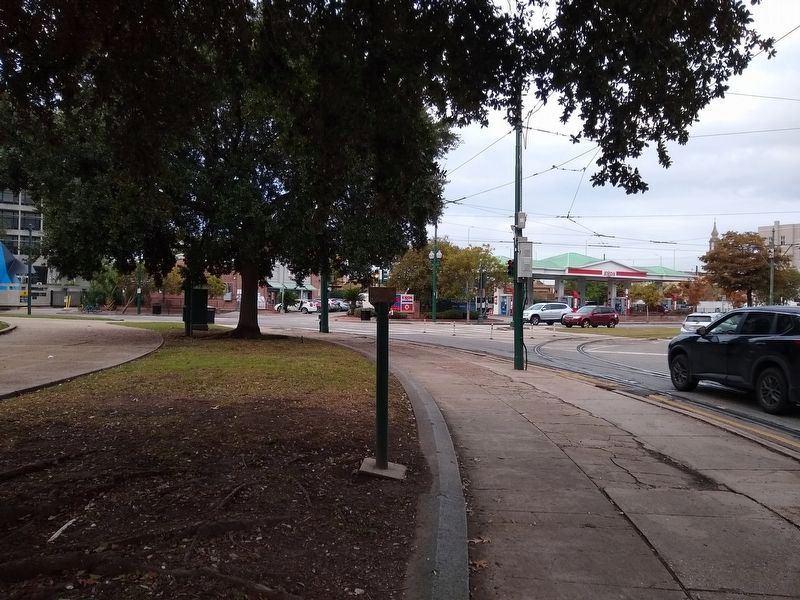
Location. Marker has been reported missing. It was located near 29° 56.62′ N, 90° 4.356′ W. Marker was in New Orleans, Louisiana, in Orleans Parish. It was in the Central Business District. Marker was at the intersection of Lee Circle and Howard Avenue on Lee Circle. The St. Charles Line marker is on the northwest edge of Lee Circle near where Howard Avenue intersects Saint Charles Avenue. Touch for map. Marker was at or near this postal address: 900 Saint Charles Avenue, New Orleans LA 70130, United States of America. Touch for directions.
Other nearby markers. At least 8 other markers are within walking distance of this location. 8 in. Columbaid Cannon (about 400 feet away, measured in a direct line); Atlantic Wall Fragments (about 600 feet away); The Beginning (about 600 feet away); Julia Row (approx. 0.2 miles away); Margaret's Place and Walk / Lower Garden District (approx. 0.2 miles away); Starting Point of the First Traditional New Orleans Mardi Gras Parade (approx. ¼ mile away); The 747 (approx. ¼ mile away); St. Patrick's Church (approx. ¼ mile away). Touch for a list and map of all markers in New Orleans.
Also see . . . Streetcars in New Orleans - Wikipedia. (Submitted on January 13, 2012, by Barry Swackhamer of Brentwood, California.)
Credits. This page was last revised on November 17, 2023. It was originally submitted on January 13, 2012, by Barry Swackhamer of Brentwood, California. This page has been viewed 802 times since then and 41 times this year. Last updated on November 17, 2023, by Laura Edwards of Bethesda, Maryland. Photos: 1, 2, 3. submitted on January 13, 2012, by Barry Swackhamer of Brentwood, California. 4. submitted on November 17, 2023, by Laura Edwards of Bethesda, Maryland. • James Hulse was the editor who published this page.


