Near Daviston in Tallapoosa County, Alabama — The American South (East South Central)
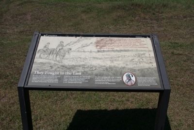
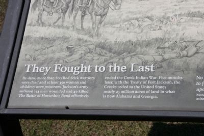
They Fought to the Last
Horseshoe Bend National Military Park
— National Park Service, U.S. Department of the Interior —
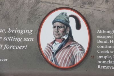
No other evening will come, bringing to [my] eyes the rays of the setting sun upon the home [I have] left forever!
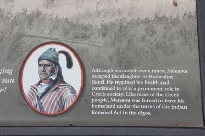
Menawa, Red Stick warrior, as he left his home on the Tallapoosa River.
Although wounded seven times, Menawa escaped the slaughter at Horseshoe Bend. He regained his health and continued to play a prominent role in Creek society. Like most of the Creek people, Menawa was forced to leave his homeland under the terms of the Indian Removal Act in the 1830s.
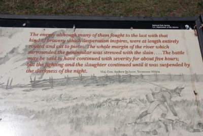
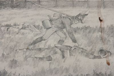
The enemy although many of them fought to the last with that kind of bravery which desperation inspires, were at length entirely routed and cut to pieces. The whole margin of the river which surrounded the peninsular was strewed with the slain...The battle may be said to have continued with severity for about five hours; but the fighting and the slaughter continued until it was suspended by the darkness of the night.
Maj. Gen. Andrew Jackson, Tennessee Militia
Erected by National Park Service, U.S. Department of the Interior.
Topics and series. This historical marker is listed in these topic lists: Native Americans • War of 1812. In addition, it is included in the Former U.S. Presidents: #07 Andrew Jackson series list.
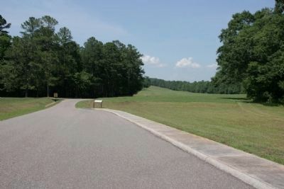
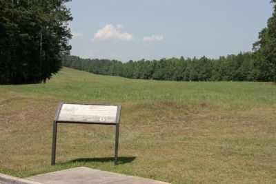
Location. 32° 58.339′ N, 85° 44.195′ W. Marker is near Daviston, Alabama, in Tallapoosa County. Marker is on Battlefield Park Tour Road, on the right. Touch for map. Marker is at or near this postal address: 11288 Horseshoe Bend Road, Daviston AL 36256, United States of America. Touch for directions.
Other nearby markers. At least 8 other markers are within walking distance of this marker. While the Long Roll Was Beating (approx. 0.2 miles away); Charge! (approx. 0.2 miles away); Designed for Defense (approx. 0.2 miles away); Major Lemuel P. Montgomery (approx. ¼ mile away); Jackson Trace (approx. ¼ mile away); Horseshoe Bend Battleground Monument (approx. ¼ mile away); Gun Hill (approx. ¼ mile away); The High Ground (approx. ¼ mile away). Touch for a list and map of all markers in Daviston.
More about this marker.
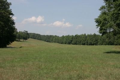
Tour Stop #5 Newyaucau Town and the Aftermath
This Upper Creek town, across the river to the northeast, was named for the 1790 Treaty of New York guaranteeing Creek lands and perpetual friendship with the United States. Georgia militia under Maj. Gen. David Adams burned it before the battle, and its people joined the other refugees at Tohopeka.
After the battle the surrounding land and much of east-central Alabama remained Creek. This area was not ceded to the United States under the Treaty of Fort Jackson, and Creek people continued to live here until the 1830s. Starting in 1836 the U.S. Army forcibly removed over 19,000 Creeks from Alabama.
From Horseshoe Bend National Military Park Map and Guide Brochure.
Also see . . . Horseshoe Bend National Military Park. (Submitted on January 16, 2012, by Timothy Carr of Birmingham, Alabama.)
Credits. This page was last revised on September 29, 2019. It was originally submitted on January 16, 2012, by Timothy Carr of Birmingham, Alabama. This page has been viewed 1,080 times since then and 18 times this year. Photos: 1, 2, 3, 4, 5, 6, 7, 8, 9, 10. submitted on January 16, 2012, by Timothy Carr of Birmingham, Alabama. • Craig Swain was the editor who published this page.
