Tehachapi in Kern County, California — The American West (Pacific Coastal)
Tehachapi Pass
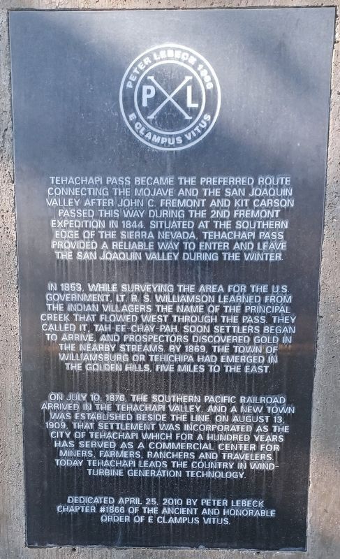
In 1853, while surveying the area for the U.S. Government, Lt. R.S. Williamson learned from the Indian villagers the name of the principal creek that flowed west through the pass. They called it, Tah-ee-chay-pah. Soon settlers began to arrive and prospectors discovered gold in the nearby streams. By 1869, the town of Williamsburg or Tehichipa had emerged in the Golden Hills, five miles to the east.
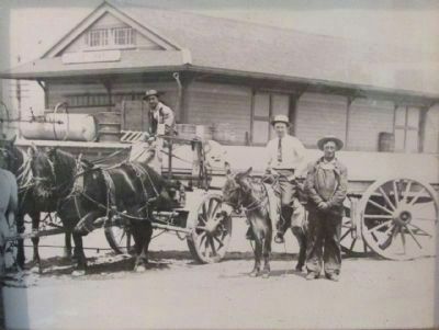
On July 10, 1876, the Southern Pacific Railroad arrived in the Tehachapi Valley, and a new town was established beside the line on August 13, 1909. The settlement was incorporated as the City of Tehachapi, which for a hundred years has served as a commercial center for miners, farmers, ranches and travelers. Today Tehachapi leads the country in wind turbine generation technology.
Erected 2010 by Peter Lebeck Chapter 1866, E Clampus Vitus.
Topics and series. This historical marker is listed in these topic lists: Railroads & Streetcars • Settlements & Settlers. In addition, it is included in the E Clampus Vitus series list. A significant historical month for this entry is July 1939.
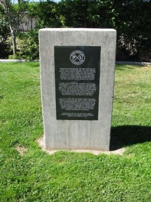
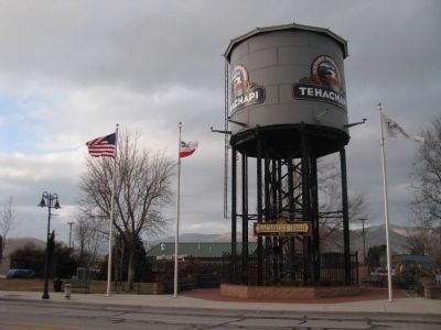
Location. 35° 7.931′ N, 118° 26.801′ W. Marker is in Tehachapi, California, in Kern County. Marker is on Tehachapi Boulevard, on the right when traveling west. Marker is located near the water tank in Railroad Park. Touch for map. Marker is at or near this postal address: 141 Tehachapi Blvd, Tehachapi CA 93561, United States of America. Touch for directions.
Other nearby markers. At least 8 other markers are within walking distance of this marker. 1915 Street Dance Mural (within shouting distance of this marker); Site of the Kessing Building (within shouting distance of this marker); Tehachapi Train Depot Bricks (about 300 feet away, measured in a direct line); Cement Production in Tehachapi (about 300 feet away); Beekay Theatre (about 300 feet away); Tehachapi Depot (about 300 feet away); Tehachapi’s Founding Fathers (about 300 feet away); Arrastra at Railroad Park (about 400 feet away). Touch for a list and map of all markers in Tehachapi.
Credits. This page was last revised on October 26, 2022. It was originally submitted on January 20, 2012, by Denise Boose of Tehachapi, California. This page has been viewed 829 times since then and 25 times this year. Photos: 1. submitted on August 30, 2022, by Denise Boose of Tehachapi, California. 2, 3. submitted on January 20, 2012, by Denise Boose of Tehachapi, California. 4. submitted on February 18, 2012, by Denise Boose of Tehachapi, California. 5, 6. submitted on March 16, 2014, by Denise Boose of Tehachapi, California. • Syd Whittle was the editor who published this page.
