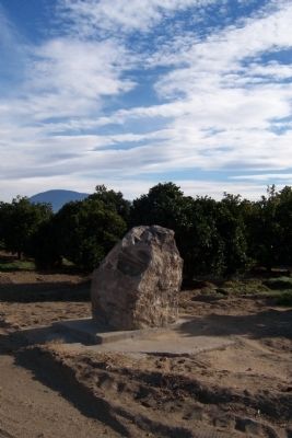
Edison in Kern County, California — The American West (Pacific Coastal)
Point On The Jedediah Smith Trail
Topics. This historical marker is listed in these topic lists: Roads & Vehicles • Settlements & Settlers. A significant historical date for this entry is February 1, 1865.
Location. Marker has been reported missing. It was located near 35° 19.928′ N, 118° 48.395′ W. Marker was in Edison, California, in Kern County. Marker was at the intersection of Edison Highway/Old Bena Road and Tower Line Road, on the right when traveling east on Edison Highway/Old Bena Road. This marker sits against an orange orchard on the South East corner of Old Bena and Tower LIne Road. Touch for map. Marker was in this post office area: Edison CA 93220, United States of America. Touch for directions.
Other nearby markers. At least 8 other markers are within 11 miles of this location, measured as the crow flies. Rio de San Felipe (approx. 6 miles away); Arvins Veterans (approx. 8.6 miles away); Francisco Garces O.F.M (approx. 8.6 miles away); Arvin-Sierra Glider Port (approx. 9.2 miles away); Bakersfield National Cemetery (approx. 9˝ miles away); Kern County Veterans (approx. 9.6 miles away); Kern River Slough (approx. 10.2 miles away); Ethel's Old Corral (approx. 10.4 miles away).
Credits. This page was last revised on June 16, 2016. It was originally submitted on January 22, 2012, by Denise Boose of Tehachapi, California. This page has been viewed 1,667 times since then and 6 times this year. Photo 1. submitted on January 22, 2012, by Denise Boose of Tehachapi, California. • Syd Whittle was the editor who published this page.
