Helena in Phillips County, Arkansas — The American South (West South Central)
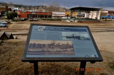
The Battle of Helena
Bloody Fireworks on the Fourth of July
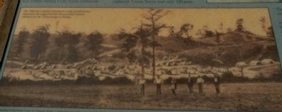
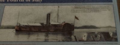
On a brutally hot July 4, 1863, Confederate General Theophilus Holmes launched a three-pronged attack on the small Union garrison at Helena. Union defenses centered around Battery A north of here, Battery B northwest of here, Battery C due west of where you are standing, and Battery D southwest of here. Fort Curtis, an earthen fortification, was within Helena's city limits northwest of here and the U.S. gunboat Tyler on the Mississippi River behind you provided crucial support in defeating the Confederate assault.
More than 7,600 Confederate soldiers, mainly from Arkansas and Missouri, attacked the 4,000 Union defenders of Helena. Only the attack against Battery C succeeded, but it was broken by Union counterattacks and the terrible shells of the Tyler. The Confederate attackers lost 1,636 men killed, wounded and missing or captured. Union forces lost only 239 men.
"The ground at this point was impassible - an old road and a deep ravine full of timber, which scattered our men and it was impossible to keep in line; but we succeeded in getting through after remaining in the timber and hollows nearly two hours under a heavy fire, and made a charge when, the enemy giving way, we entered the rifle pits. Here many of our men fell, perfectly exhausted from overheat."
Dennis Bahen 37th Arkansas Infantry Regiment, C.S.A
"The rest of the batteries got range of them, and the gunboats began to shell them. Oh, what slaughter and bloodshed. They were mowed down by hundreds by grape Shot and Shell. It makes the cold chills run over me as I think of the dreadful Scene I witnessed on the battlefield, men lying in heaps in some of the ravines, four and five deep."
Charles O. Musser, 29th Iowa Infantry Regiment, U.S.A.
Erected by Arkansas Historic Preservation Program and Delta Cultural Center.
Topics. This historical marker is listed in this topic list: War, US Civil. A significant historical date for this entry is July 4, 1863.
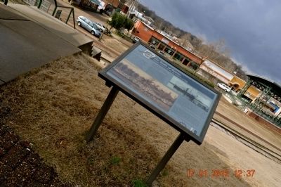
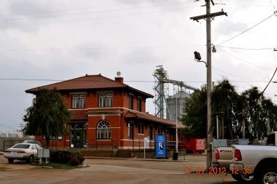
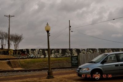
Location. 34° 31.346′ N, 90° 35.124′ W. Marker is in Helena, Arkansas, in Phillips County. Marker is at the intersection of Natchez Street and Missouri Street, on the right when traveling north on Natchez Street. Marker is located top hill past the Train Depot, across the train tracks overlooking the city of Helena and along the Levee Walk. Touch for map. Marker is in this post office area: Helena AR 72342, United States of America. Touch for directions.
Other nearby markers. At least 8 other markers are within walking distance of this marker. Helena and The Trail of Tears (a few steps from this marker); They Passed This Way (a few steps from this marker); Phillips County Goes to War
(within shouting distance of this marker); A Union Stronghold in Confederate Arkansas (within shouting distance of this marker); A Great Upheaval (within shouting distance of this marker); Hernando De Soto (within shouting distance of this marker); KFFA 1360 Helena (about 400 feet away, measured in a direct line); The Blues Trail: Mississippi to Helena (about 400 feet away). Touch for a list and map of all markers in Helena.
Credits. This page was last revised on August 9, 2023. It was originally submitted on January 28, 2012, by Sandra Hughes Tidwell of Killen, Alabama, USA. This page has been viewed 989 times since then and 32 times this year. Last updated on July 30, 2023, by Carl Gordon Moore Jr. of North East, Maryland. Photos: 1, 2, 3, 4, 5, 6, 7. submitted on January 28, 2012, by Sandra Hughes Tidwell of Killen, Alabama, USA. • Bernard Fisher was the editor who published this page.
