Marker Logo HMdb.org THE HISTORICAL
MARKER DATABASE
“Bite-Size Bits of Local, National, and Global History”
Near Trezevant in Carroll County, Tennessee — The American South (East South Central)
 

Christmasville


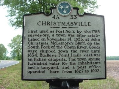
Christmasville Marker image. Click for full size.
Photographed By Ken Smith, May 9, 2009
1. Christmasville Marker
Inscription. First used as Post No. 2 by the 1785 surveyors, a town was later established on November 14, 1823, at John Christmas McLemore's Bluff, on the South Fork of the Obion River. Goods were shipped down the river until 1854. Buckeye Point, 1 mile east, was an Indian campsite. The town spring furnished water for the inhabitants and a tanyard, and a post office operated here from 1827 to 1902.
 
Erected 1977 by Tennessee Historical Commission. (Marker Number 4A 33.)
 
Topics and series. This historical marker is listed in this topic list: Settlements & Settlers. In addition, it is included in the Tennessee Historical Commission series list. A significant historical month for this entry is November 1932.
 
Location. 36° 4.231′ N, 88° 36.737′ W. Marker is near Trezevant, Tennessee, in Carroll County. Marker is on Tennessee Route 190 at milepost 4,, 0.3 miles south of Hinkledale Road, on the right when traveling north. Touch for map. Marker is at or near this postal address: 4082 Hwy 190, Trezevant TN 38258, United States of America. Touch for directions.
 
Other nearby markers. At least 8 other markers are within 7 miles of this marker, measured as the crow flies. Hillsman House (approx. 3.3 miles away); Forrest's Raid (approx. 5.8 miles away); Bethel College (approx. 6 miles away); Reedy Creek Missionary Baptist Church
Paid Advertisement
Click on the ad for more information.
Please report objectionable advertising to the Editor.
Click or scan to see
this page online
(approx. 6 miles away); McLemoresville United Methodist Church (approx. 6 miles away); First County Court (approx. 6.1 miles away); a different marker also named Forrest's Raid (approx. 6.1 miles away); McKenzie's Station (approx. 6.8 miles away).
 
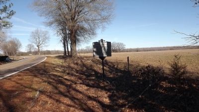
Christmasville Marker image. Click for full size.
Photographed By Ken Smith, February 2, 2012
2. Christmasville Marker
This is the current location for the marker. It was originally, approximately 2 miles north of this location, in a "Y" of the road.
Originally Location of Christmasville Marker image. Click for full size.
Photographed By Ken Smith, February 2, 2012
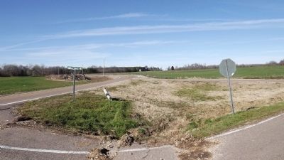
3. Originally Location of Christmasville Marker
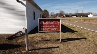
Christmasville Community image. Click for full size.
Photographed By Ken Smith, February 2, 2012
4. Christmasville Community
 
 
Credits. This page was last revised on June 16, 2016. It was originally submitted on February 2, 2012, by Ken Smith of Milan, Tennessee. This page has been viewed 1,114 times since then and 74 times this year. Photos:   1, 2, 3, 4. submitted on February 2, 2012, by Ken Smith of Milan, Tennessee. • Bernard Fisher was the editor who published this page.
Share this page.  
Share on Tumblr
m=52130

CeraNet Cloud Computing sponsors the Historical Marker Database.
This website earns income from purchases you make after using our links to Amazon.com. We appreciate your support.
Paid Advertisement
Apr. 24, 2024