Sanford in Seminole County, Florida — The American South (South Atlantic)
Sanford Est. 1877
Fort Mellon and Mellonville
— Pathway to History —
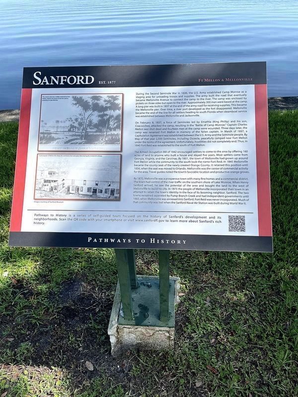
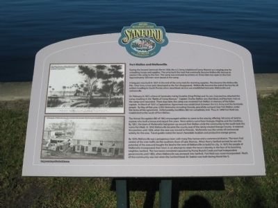
On February 8, 1837, a force of Seminoles led by Emathla (King Phillip) and his son, Coacoochee, attacked the camp, resulting in the "Battle of Camp Monroe." Captain Charles Mellon was shot dead, and fourteen men at the camp were wounded. Three days later, the camp was renamed Fort Mellon in memory of the fallen captain. In March of 1837, a Capitulation Agreement was established between the U.S. Army and the Seminole people. By May of that year, 2,500 Seminoles, including Osceola, peacefully camped near Fort Mellon under the terms of the agreement. Unfortunately, hostilities did not completely end. Thus, in 1840 Fort Reid was established to the south of Fort Mellon.
The Armed Occupation Bill of 1842 encouraged settlers to come to the area by offering 160 acres of land to anyone who built a house and stayed five years. Most settlers came from Georgia, Virginia, and the Carolinas. By 1851, the town of Mellonville had grown up around Fort Mellon while the community to the south took the name Fort Reid. In 1845 Mellonville became the county seat of the newly created Orange County. It retained this position until 1856, when the seat was moved to Orlando. Mellonville was the center of commercial activity for the area. Travel guides noted the town's favorable location and productive orange groves.
By 1870, Mellonville was a prosperous town with many fine homes and a commercial district. The town had control of the river traffic on the southern shore of Lake Monroe. When Henry Sanford arrived, he saw the potential of the area and bought the land to the west of Mellonville to build a city. In 1875 the people of Mellonville incorporated their town in an attempt to retain the town's identity in the face of its booming neighbor, Sanford. The two towns remained separated by Pump Branch Creek and had independent governments until 1883, when Mellonville was annexed into Sanford. Fort Reid was never incorporated. Much of that community was lost when the Sanford Naval Air Station was built during World War II.
Erected by the City of Sanford.
Topics. This historical marker is listed in these topic lists: Forts and Castles • Settlements & Settlers • Wars, US Indian • Waterways & Vessels. A significant historical date for this entry is February 8, 1837.
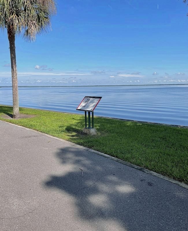
Location. 28° 48.776′ N, 81° 15.295′ W. Marker is in Sanford, Florida, in Seminole County. Marker is on East Seminole Boulevard west of North Mellonville Avenue, on the left when traveling east. Located overlooking Lake Monroe near the eastern end of the Sanford RiverWalk. Touch for map. Marker is in this post office area: Sanford FL 32771, United States of America. Touch for directions.
Other nearby markers. At least 8 other markers are within walking distance of this marker. Site of Fort Mellon (within shouting distance of this marker); Georgetown and Goldsboro (about 300 feet away, measured in a direct line); Early Hospitals in Sanford (about 700 feet away); Hotel Forrest Lake (approx. 0.2 miles away); Sanford's First Residents (approx. 0.4 miles away); Henry Shelton Sanford (approx. half a mile away); Fort Mellon Park (approx. half a mile away); Citrus to Celery (approx. 0.6 miles away). Touch for a list and map of all markers in Sanford.
More about this marker. Marker has been replaced. Location and inscription remain the same, background is different from the original and includes a scan code.
Related markers.
Click here for a list of markers that are related to this marker.
Also see . . . Fort Mellon Florida. (Submitted on January 9, 2022, by Brandon D Cross of Flagler Beach, Florida.)
Credits. This page was last revised on March 22, 2022. It was originally submitted on February 3, 2012, by Glenn Sheffield of Tampa, Florida. This page has been viewed 1,556 times since then and 43 times this year. Last updated on January 9, 2022, by Brandon D Cross of Flagler Beach, Florida. Photos: 1, 2. submitted on January 9, 2022, by Brandon D Cross of Flagler Beach, Florida. 3. submitted on February 3, 2012, by Glenn Sheffield of Tampa, Florida. • J. Makali Bruton was the editor who published this page.


