Rockspring in San Jose in Santa Clara County, California — The American West (Pacific Coastal)
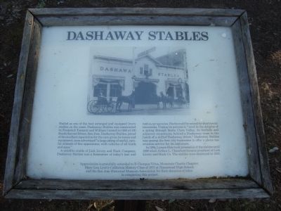
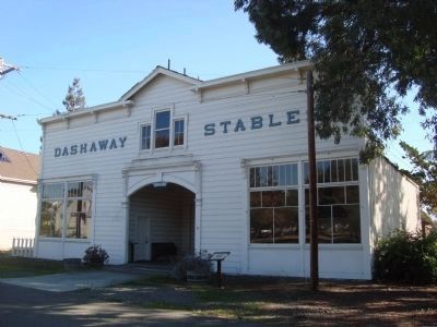
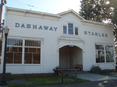
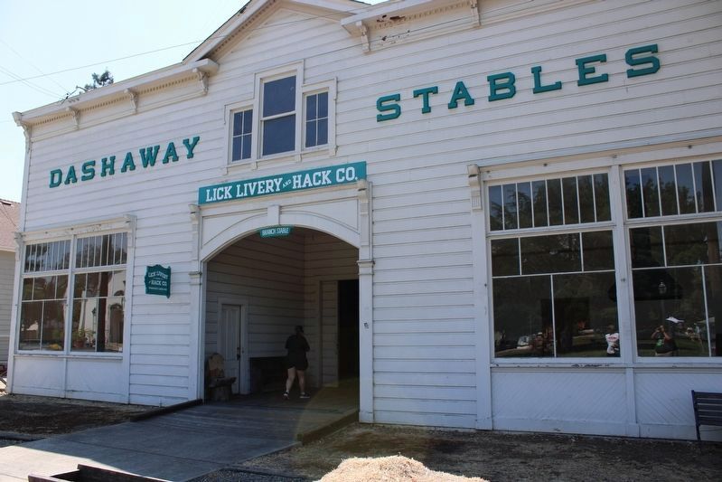
Dashaway Stables
A satellite stable of Lick Livery and Hack Company, Dashaway Stables was a forerunner of today’s taxi and rent-a-car agencies. Hacks could be rented for short scenic excursions. Urging its patrons to “revel in the delights of a spring through Santa Clara Valley, its foothills and adjacent mountains, behind a Dashaway team in the hands of a skilled Dashaway driver,” Dashaway Stables was among the first city businesses to offer a phone reservation system for its customers.
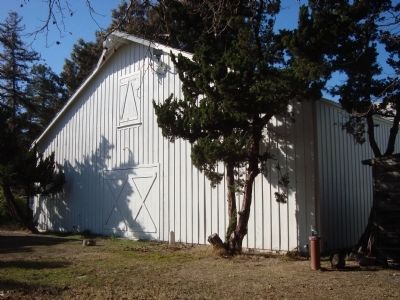
In 1894, Lyman Hale took possession of the stables until 1898 when Arthur L. Chambers became president of Lick Livery and Hack Co. The stables were destroyed in 1928.
Appreciation is gratefully extended to E Clampus Vitus, Mountain Charlie Chapter; Mary Lou Lyon’s California History Class of 1975 at Homestead High School; and the San Jose Historical Museum Association for their donation of labor in completing this project.
Erected by Mountain Charlie Chapter, E Clampus Vitus and San Jose Historical Museum Association.
Topics and series. This historical marker is listed in this topic list: Roads & Vehicles. In addition, it is included in the E Clampus Vitus series list. A significant historical year for this entry is 1888.
Location. Marker has been permanently removed. It was located near 37° 19.15′ N, 121° 51.501′ W. Marker was in San Jose, California, in Santa Clara County. It was in Rockspring. Marker could be reached from Senter Road, on the right when traveling south. Touch for map. Marker was at or near this postal address: 1650 Senter Road, San Jose CA 95112, United States of America.
We have been informed that this sign or monument is no longer there and will not be replaced. This page is an archival view of what was.
Other nearby markers. At least 8 other markers are within walking distance of this location. Paulson House (a few steps from this marker); Mayor Janet Gray Hayes (within shouting distance of this marker); Dr. Warburton’s Office (within shouting distance of this marker); Replica 1888 Ng Shing Gung – Temple of Five Gods (within shouting distance of this marker); Rod Diridon Sr. Trolley Barn (about 300 feet
away, measured in a direct line); The Print Shop (about 300 feet away); The Printing Office (about 300 feet away); Lee's Sandwiches (about 300 feet away). Touch for a list and map of all markers in San Jose.
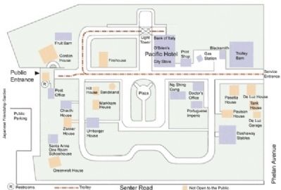
More about this marker. This marker is located in History Park, a part of San Jose’s Kelly Park.
Credits. This page was last revised on June 26, 2023. It was originally submitted on February 3, 2012, by Barry Swackhamer of Brentwood, California. This page has been viewed 605 times since then and 18 times this year. Photos: 1, 2, 3, 4. submitted on February 3, 2012, by Barry Swackhamer of Brentwood, California. 5. submitted on June 26, 2023, by Joseph Alvarado of Livermore, California. 6. submitted on February 3, 2012, by Barry Swackhamer of Brentwood, California. • Syd Whittle was the editor who published this page.
