South San Jose in Santa Clara County, California — The American West (Pacific Coastal)
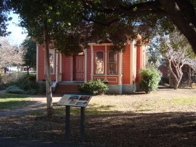
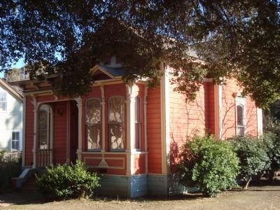
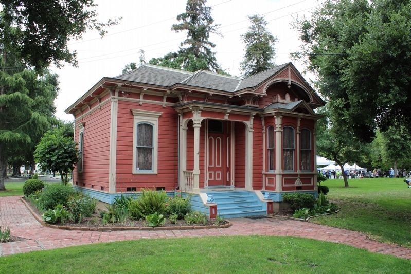
The Umbarger House
Late Nineteenth Century Homelife in a San José Farmhouse
Photographed By Barry Swackhamer, January 25, 2012
1. The Umbarger House Marker
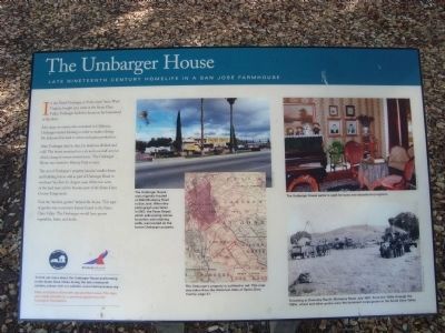
[Photo captions clockwise from the top left:]
The Umbarger House was originally located at 2662 Monterey Road in San Jose. When this photograph was taken in 2001, the Paver Depot which sells paving stones for patios and retaining walls, was located on the former Umbarger property.
The Umbarger parlor is used for tours and educational programs.
Threshing at Doemsky Ranch, Monterey Road, July 1887. From the 1850s through the 1880s, wheat and other grains were dominant crops grown in the Santa Clara Valley.
The Umbarger’s property is outlined in red. This map was taken from the Historical Atlas of Santa Clara County, page. 37.
Like many ex-miners who remained in California, Umbarger started farming in order to make a living. He dedicated his land to wheat and grain production.
After Umbarger died in 1891, his land was divided and sold. The house remained on a six and one-half acre lot which changed owners several times. The Umbarger House was moved to the History Park in 1870.
The rest of Umbarger’s property became small farms and building lots as well as part of Umbarger Road in southeast San José. In August 1946, thirty-two acres of land were sold to become the Santa Clara County Fairgrounds.
Visit the “kitchen garden” behind the hose. This type of garden was a common feature found in the Santa Clara Valley. The Umbargers would have grown vegetables, fruits, and herbs.
To find out more about the Umbarger House and farming in the Santa Clara Valley during the late nineteenth century, pleas visit our website: www.historysanjose.org.
Peter and Emma Aimonetti donated the house. This sign made possible by a generous grant from the Farrington Foundation.
Erected by San Jose Historical Museum Association .
Topics. This historical marker is listed in this topic list: Agriculture. A significant historical year for this entry is 1851.
Location. 37° 19.215′ N, 121° 51.552′ W. Marker is in San Jose, California, in Santa Clara County. It is in South San Jose. Marker can be reached from Phelan Avenue near Senter Road. Touch for map. Marker is at or near this postal address: 635 Phelan Ave, San Jose CA 95112, United States of America. Touch for directions.
Other nearby markers. At least 8 other markers are within walking distance of this marker. Edwin Markham House (a few steps from this marker); Santa Ana One Room School House (a few steps from this marker); The Zanker House (within shouting distance of this marker); Andrew P. Hill House (within shouting distance of this marker); The Chiechi House (within shouting distance of this marker); Lee's Sandwiches (within shouting distance of this marker); Exodus and Entry (within shouting distance of this marker); Coyote Post Office (within shouting distance of this marker). Touch for a list and map of all markers in San Jose.
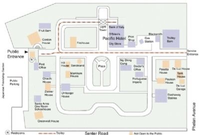
More about this marker. This marker is located in History Park, a part of Kelly Park. Open daily 9-4.
Credits. This page was last revised on June 26, 2023. It was originally submitted on February 3, 2012, by Barry Swackhamer of Brentwood, California. This page has been viewed 713 times since then and 28 times this year. Photos: 1, 2, 3. submitted on February 3, 2012, by Barry Swackhamer of Brentwood, California. 4. submitted on June 26, 2023, by Joseph Alvarado of Livermore, California. 5. submitted on February 3, 2012, by Barry Swackhamer of Brentwood, California. • Syd Whittle was the editor who published this page.
