Near Sperry in Tulsa County, Oklahoma — The American South (West South Central)
Battle of Chusto-Talasah or "Caving Banks"
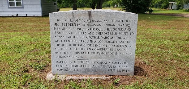
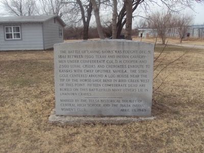
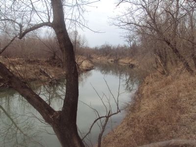
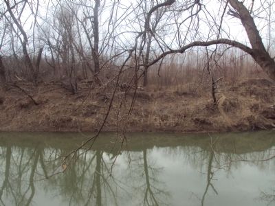
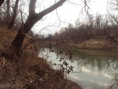
The Battle of "Caving Banks" was fought on Dec. 9, 1861 between 1500 Texas and Indian calvarymen under Confederate Col. D.H. Cooper and 2500 loyal Creeks and Cherokees enroute to Kansas with Chief Opothle Yahola. The struggle centered on a log house at the tip of the Horse-Shoe Bend in Bird Creek west of this point. Fifteen Confederate dead are buried on this battlefield. Many others are buried in unmarked graves.
Erected 1945 by Tulsa Historical Society of Central High School and the Tulsa Indian Women's Club.
Topics. This historical marker is listed in these topic lists: Native Americans • War, US Civil. A significant historical month for this entry is December 2006.
Location. 36° 17.118′ N, 95° 56.809′ W. Marker is near Sperry, Oklahoma, in Tulsa County. Marker is on North Delaware Avenue. Touch for map. Marker is in this post office area: Sperry OK 74073, United States of America. Touch for directions.
Other nearby markers. At least 8 other markers are within 9 miles of this marker, measured as the crow flies. Battle of Chusto-Talasah (approx. 1.7 miles away); Veterans Building (approx. 8.3 miles away); War Memorial (approx. 8.3 miles away); Battle of Chustenahlah (approx. 8˝ miles away); Admiral Place (approx. 8.6 miles away); Confederate Memorial (approx. 8.6 miles away); In Recognition of Elizabeth Russell Sullivan (approx. 8.6 miles away); Colonial Garden (approx. 8.7 miles away).
Credits. This page was last revised on June 5, 2023. It was originally submitted on February 5, 2012, by Michael Manning of Woodlawn, Tennessee. This page has been viewed 1,597 times since then and 60 times this year. Photos: 1. submitted on June 5, 2023, by Andrew Foreman of Broken Arrow, Oklahoma. 2, 3, 4, 5. submitted on February 5, 2012, by Michael Manning of Woodlawn, Tennessee. • Craig Swain was the editor who published this page.
Editor’s want-list for this marker. A photo of the marker and the surrounding area in context. • Can you help?
