Maysville in Benton County, Arkansas — The American South (West South Central)
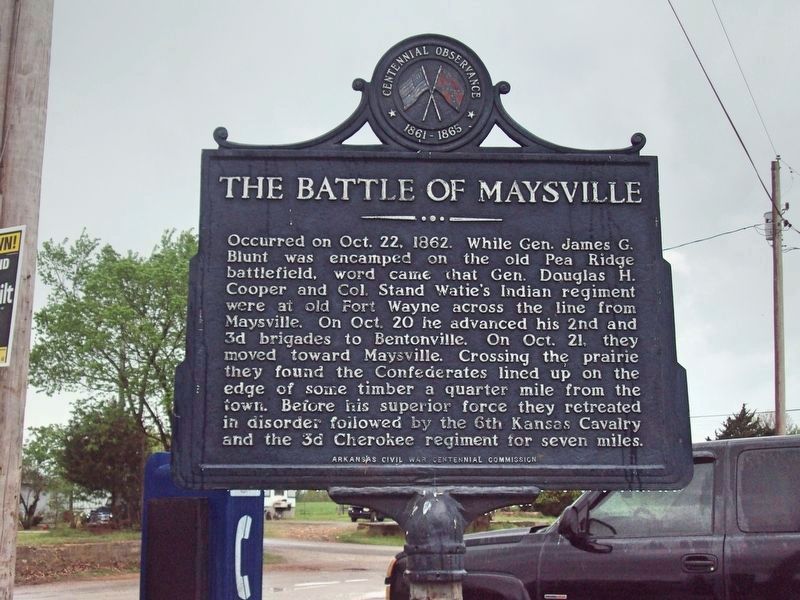
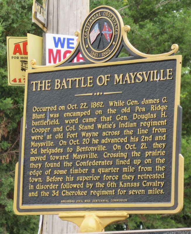
The Battle of Maysville
Erected by Arkansas Civil War Centennial Commission.
Topics. This historical marker is listed in these topic lists: Native Americans • War, US Civil. A significant historical month for this entry is October 1862.
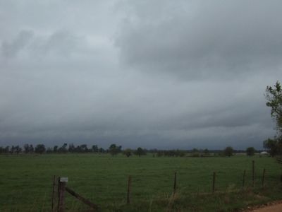
Location. 36° 24.239′ N, 94° 36.124′ W. Marker is in Maysville, Arkansas, in Benton County. Marker is on State Highway 43 near State Highway 72, on the right when traveling south. Touch for map. Marker is in this post office area: Maysville AR 72747, United States of America. Touch for directions.
Other nearby markers. At least 8 other markers are within 10 miles of this marker, measured as the crow flies. Camp Walker (approx. 1.9 miles away); Fort Wayne (approx. 2 miles away in Oklahoma); Camp Jackson / Confederate Dead (approx. 5˝ miles away); Georgia Cemetery (approx. 5˝ miles away); Kansas City Southern Railway Caboose #383 (approx. 8.4 miles away); Arkansas & Oklahoma Railroad (approx. 8.6 miles away); Stand Watie (approx. 8.6 miles away in Oklahoma); Sulphur Springs Park Reserve (approx. 9.7 miles away).
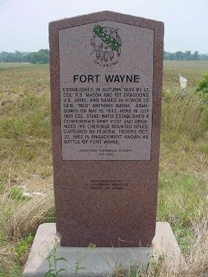
More about this marker. This Arkansas marker is the only one still standing describing the Battle of Old Fort Wayne. The Oklahoma Historical Society marker has been missing since at least 2010. I have included a photograph of that marker. It originally stood at: 36.423436N and 94.627495W, along SR 20 in Oklahoma, approximately five miles from the Maysville marker.
Related marker. Click here for another marker that is related to this marker. Repaired Fort Wayne stone marker (photo 3) encased in concrete.
Additional commentary.
1. Fort Wayne Marker in Oklahoma
In 1995 a granite marker replaced the earlier style Oklahoma highway marker on Fort Wayne; the granite marker had the same text as the original highway marker. The granite marker was damaged sometime before 2008 and removed. It was later repaired and re-installed at its original location on State Highway 20 in Oklahoma, approximately five miles from the Maysville marker. The Fort Wayne marker in Oklahoma is located around four miles north of the site of Fort Wayne.
— Submitted November 19, 2016, by Duane Hall of Abilene, Texas.
Credits. This page was last revised on April 8, 2023. It was originally submitted on February 5, 2012, by Michael Manning of Woodlawn, Tennessee. This page has been viewed 2,245 times since then and 135 times this year. Photos: 1. submitted on October 16, 2019, by Mark Hilton of Montgomery, Alabama. 2. submitted on April 8, 2023, by Jason Armstrong of Talihina, Oklahoma. 3, 4. submitted on February 5, 2012, by Michael Manning of Woodlawn, Tennessee. • Craig Swain was the editor who published this page.
Editor’s want-list for this marker. A photo of the marker and surrounding area in context. • Can you help?


