Near Fort Towson in Choctaw County, Oklahoma — The American South (West South Central)
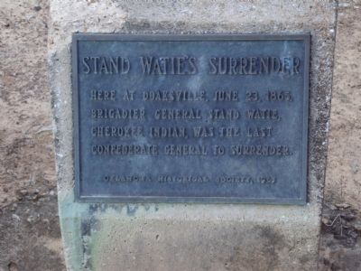
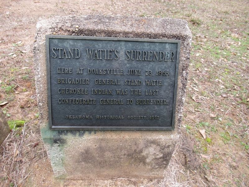
Stand Watie’s Surrender
Erected 1965 by Oklahoma Historical Society.
Topics and series. This historical marker is listed in these topic lists: Native Americans • War, US Civil. In addition, it is included in the Oklahoma Historical Society series list. A significant historical date for this entry is June 23, 1865.
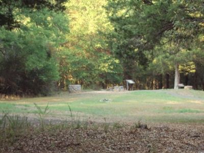
Location. 34° 2.092′ N, 95° 16.192′ W. Marker is near Fort Towson, Oklahoma, in Choctaw County. Marker can be reached from Red Road, 1˝ miles north of U.S. 70. Marker is located in the Doaksville Archeological Park north of the Town of Fort Towson. The quickest way to the marker is to park inside the east side of the Fort Towson Cemetery. Near the east cemetery wall is a set of steps that lead over the wall and into the former Doaksville town site. It is not recommended for the handicapped. It is a longer walk from the "official" gate on the north side of the cemetery. Touch for map. Marker is in this post office area: Fort Towson OK 74735, United States of America. Touch for directions.
Other nearby markers. At least 8 other markers are within walking distance of this marker. Doaksville (here, next to this marker); A Community Well (here, next to this marker); Notice! (a few steps from this marker); The Preservation of Doaksville (within shouting distance of this marker); The Doaksville Hotel (within shouting distance of this marker); A Store on Commercial Row (within shouting distance of this marker); Why The Mound? (within shouting distance of this marker); A Kitchen? (within shouting distance of this marker). Touch for a list and map of all markers in Fort Towson.
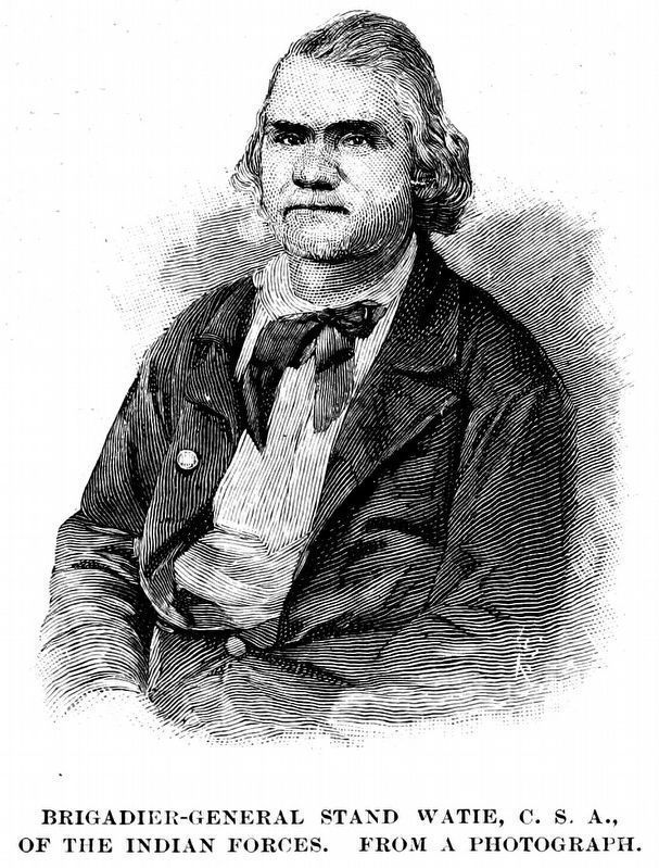
Also see . . . Wikipedia entry for Stand Watie. Excerpt:
Since most Cherokee were now Union supporters, during the war, General Watie’s family and other Confederate Cherokee took refuge in Rusk and Smith counties of east Texas. The Cherokee and allied warriors became a potent Confederate fighting force that kept Union troops out of southern Indian Territory and large parts of north Texas throughout the war, but spent most of their time attacking other Cherokee.(Submitted on June 20, 2020.)
The Confederate Army put Watie in command of the Indian Division of Indian Territory in February 1865. By then, however, the Confederates were no longer able to fight in the territory effectively.
On June 23, 1865, at Doaksville in the Choctaw Nation (now Oklahoma), Watie signed a cease-fire agreement with Union representatives for his command, the First Indian Brigade of the Army of the Trans-Mississippi. He was the last Confederate general in the field to surrender.
Credits. This page was last revised on January 1, 2024. It was originally submitted on February 12, 2012. This page has been viewed 1,418 times since then and 50 times this year. Last updated on June 26, 2020, by Carl Gordon Moore Jr. of North East, Maryland. Photos: 1. submitted on February 12, 2012, by Michael Manning of Woodlawn, Tennessee. 2. submitted on January 1, 2024, by Jason Armstrong of Talihina, Oklahoma. 3, 4. submitted on February 12, 2012, by Michael Manning of Woodlawn, Tennessee. 5. submitted on September 17, 2018, by Allen C. Browne of Silver Spring, Maryland. • J. Makali Bruton was the editor who published this page.


