Waverly in Humphreys County, Tennessee — The American South (East South Central)
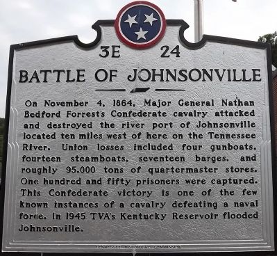
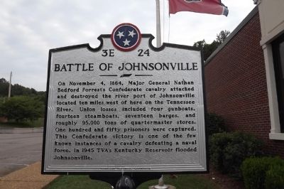
Battle of Johnsonville
Erected by Tennessee Historical Commission. (Marker Number 3E 24.)
Topics and series. This historical marker is listed in these topic lists: Settlements & Settlers • War, US Civil • Waterways & Vessels. In addition, it is included in the Tennessee Historical Commission series list. A significant historical month for this entry is November 1813.
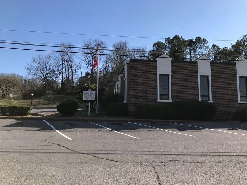
Location. 36° 4.955′ N, 87° 47.694′ W. Marker is in Waverly, Tennessee, in Humphreys County. Marker is at the intersection of Thompson Street and Mill Street (W. Court Square Street), on the right when traveling west on Thompson Street. Marker Location: S. Court St. & Mill St., behind courthouse, Waverly. Touch for map. Marker is in this post office area: Waverly TN 37185, United States of America. Touch for directions.
Other nearby markers. At least 8 other markers are within walking distance of this marker. Humphreys County (a few steps from this marker); Humphreys County War Memorial (within shouting distance of this marker); Court House Bell (within shouting distance of this marker); Reynoldsburg (within shouting distance of this marker); Fort Hill (within shouting distance of this marker); The McAdoo House (about 600 feet away, measured in a direct line); a different marker also named McAdoo House (about 700 feet away); The Butterfield House (approx. 0.2 miles away). Touch for a list and map of all markers in Waverly.
Credits. This page was last revised on March 9, 2020. It was originally submitted on February 14, 2012, by Ken Smith of Milan, Tennessee. This page has been viewed 833 times since then and 24 times this year. Photos: 1, 2. submitted on February 14, 2012, by Ken Smith of Milan, Tennessee. 3. submitted on March 9, 2020, by Duane and Tracy Marsteller of Murfreesboro, Tennessee. • Craig Swain was the editor who published this page.


