Bear Mountain in Rockland County, New York — The American Northeast (Mid-Atlantic)
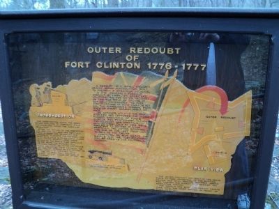
Outer Redoubt of Fort Clinton
1776 - 1777
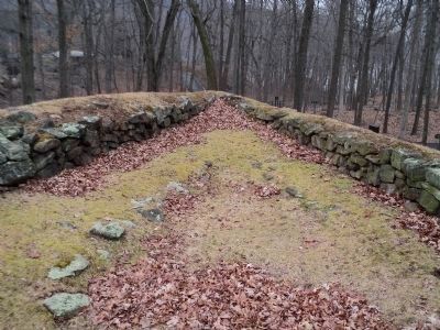
A redoubt is a small enclosed, heavily armed fortification built to protect a strategic location.
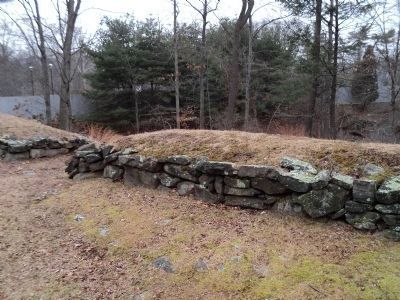
In 1776, fearing a possible assault by land, the Americans constructed the outer redoubt on this high piece of ground. It not only commanded the main fortifications at Fort Clinton, but all the surrounding terrain from which an enemy assault might be made.
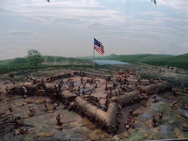
On October 6th, 1777 the British stormed and captured the undermanned garrisons of Forts Clinton and Montgomery. Although the redoubt was constructed to hold 350 men, only 99 men were available to defend it when attacked. The outer redoubt was one of the last positions to fall to the enemy.
Additional details about the battle and the fortifications may be seen in the historical museum.
Cross Section
After the outline of the fortification was laid out, soil was removed from in front and behind [“A”] and thrown up to create the parapet. This created a ditch in front, which along with fraise (pointed logs) made access by the enemy more difficult. On the inside, the removed soil provided protection to the defenders while reloading their muskets. The banquette served as a platform to fire over the parapet wall.
The parapet soil was held in place by low walls of stone and timber.
Plan View
The ravelin was built to permit cannon fire into the deep ravine in front of Fort Clinton.
Topics. This historical marker is listed in these topic lists: Forts and Castles • War, US Revolutionary. A significant historical month for this entry is October 1935.
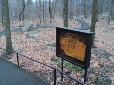
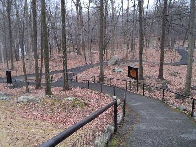
Location. 41° 19.166′ N, 73° 59.381′ W. Marker is in Bear Mountain, New York, in Rockland County. Marker can be reached from Route 9 W, on the right when traveling north. Marker is located on a walking trail through the zoo at Bear Mountain State Park. Touch for map. Marker is in this post office area: Bear Mountain NY 10911, United States of America. Touch for directions.
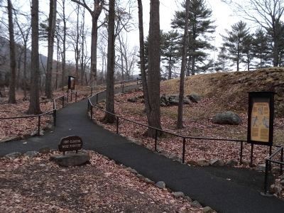
Other nearby markers. At least 8 other markers are within walking distance of this marker. The West Redoubt of Fort Clinton (a few steps from this marker); Fort Clinton’s Outer Redoubt (a few steps from this marker); The British Attempt to Divide the Colonies during the War of Independence (a few steps from this marker); Appalachian Trail (within shouting distance of this marker); a different marker also named Appalachian Trail (within shouting distance of this marker); Fort Clinton (about 300 feet away, measured in a direct line); The Historic 1777 & 1779 Trails (about 400 feet away); Bear Mountain Bridge (about 500 feet away). Touch for a list and map of all markers in Bear Mountain.
More about this marker. The left side of the marker contains a cross-section diagram of Fort Clinton. Shown are the banquette and the parapet.
A layout of the Outer Redoubt of Fort Clinton is found on the right side of the marker indicating the locations of cannon platforms, banquette, parapet and ravelin.
Also see . . . The Battle of Fort's (sic) Montgomery and Clinton. The American Revolutionary War website entry (Submitted on February 16, 2012, by Bill Coughlin of Woodland Park, New Jersey.)
Credits. This page was last revised on August 21, 2021. It was originally submitted on February 16, 2012, by Bill Coughlin of Woodland Park, New Jersey. This page has been viewed 759 times since then and 46 times this year. Photos: 1, 2, 3, 4, 5, 6. submitted on February 16, 2012, by Bill Coughlin of Woodland Park, New Jersey. 7. submitted on February 17, 2012, by Bill Coughlin of Woodland Park, New Jersey.
