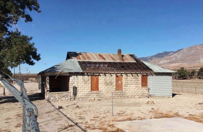
Near Whitewater in Riverside County, California — The American West (Pacific Coastal)
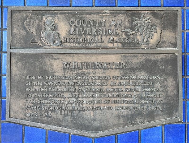
Whitewater
Erected by County of Riverside. (Marker Number RIV-003.)
Topics. This historical marker is listed in these topic lists: Exploration • Settlements & Settlers.
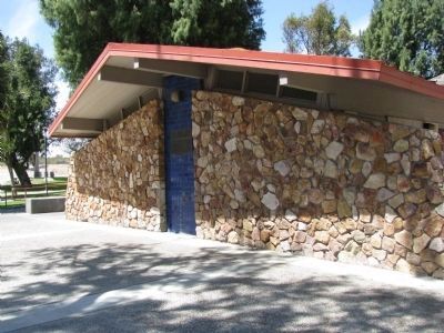
Location. 33° 55.381′ N, 116° 39.843′ W. Marker is near Whitewater, California, in Riverside County. Marker can be reached from Interstate 10, on the right when traveling west. Located at the Whitewater Rest Area. Touch for map. Marker is in this post office area: Whitewater CA 92282, United States of America. Touch for directions.
Other nearby markers. At least 8 other markers are within 8 miles of this marker, measured as the crow flies. Angel Cove (approx. 6.2 miles away); Original Cabin #2 (approx. 6.6 miles away); Palm Springs Aerial Tramway Valley Station (approx. 6.6 miles away); Tramway Gas Station (approx. 7˝ miles away); Heroic Veterans (approx. 7.6 miles away); Wilderness Preservation (approx. 7.8 miles away); The Valley's Faults (approx. 7.8 miles away); The Mountain Rocks (approx. 7.8 miles away).
Click on the ad for more information.
Please report objectionable advertising to the Editor.
sectionhead>More about this marker. Each side of the freeway has a rest area with an identical marker.
Please report objectionable advertising to the Editor.
Credits. This page was last revised on June 18, 2023. It was originally submitted on February 17, 2012, by Denise Boose of Tehachapi, California. This page has been viewed 933 times since then and 35 times this year. Last updated on November 14, 2018, by Craig Baker of Sylmar, California. Photos: 1. submitted on May 25, 2023, by Adam Margolis of Mission Viejo, California. 2, 3, 4. submitted on February 17, 2012, by Denise Boose of Tehachapi, California. 5. submitted on November 6, 2018, by Craig Baker of Sylmar, California. • Andrew Ruppenstein was the editor who published this page.
