Brownsville in Haywood County, Tennessee — The American South (East South Central)
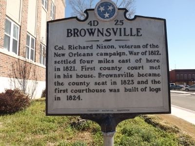
Brownsville
Erected by Tennessee Historical Commission. (Marker Number 4D 25.)
Topics and series. This historical marker is listed in these topic lists: Patriots & Patriotism • Settlements & Settlers • War of 1812. In addition, it is included in the Former U.S. Presidents: #37 Richard M. Nixon, and the Tennessee Historical Commission series lists. A significant historical year for this entry is 1812.
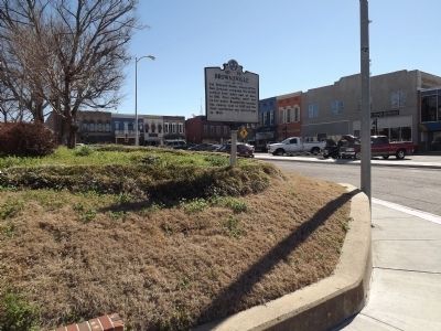
Location. 35° 35.617′ N, 89° 15.771′ W. Marker is in Brownsville, Tennessee, in Haywood County. Marker is at the intersection of Main Street (Tennessee Route 76) and South Lafayette Avenue (Tennessee Route 19), on the left when traveling east on Main Street. Touch for map. Marker is in this post office area: Brownsville TN 38012, United States of America. Touch for directions.
Other nearby markers. At least 8 other markers are within walking distance of this marker. Haywood County Courthouse (within shouting distance of this marker); Army National Guard (within shouting distance of this marker); Haywood County Veterans Memorial (within shouting distance of this marker); Haywood County Confederate Monument (within shouting distance of this marker); Haywood County War Memorial (within shouting distance of this marker); The Brownsville Raids (within shouting distance of this marker); Fighting for Freedom (within shouting distance of this marker); The Carnegie Library (about 300 feet away, measured in a direct line). Touch for a list and map of all markers in Brownsville.
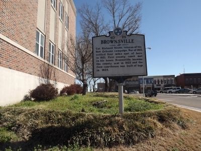
More about this marker. Marker is at the southwest corner of the Courthouse lawn.
Credits. This page was last revised on June 16, 2016. It was originally submitted on February 27, 2012, by Ken Smith of Milan, Tennessee. This page has been viewed 713 times since then and 14 times this year. Photos: 1, 2, 3. submitted on February 27, 2012, by Ken Smith of Milan, Tennessee. • Bernard Fisher was the editor who published this page.


