Norwalk in Fairfield County, Connecticut — The American Northeast (New England)
Mill Pond History
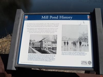
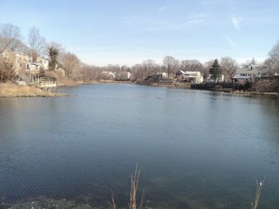
The Mill Pond was created, probably in the 1700s, by diking a natural coastal inlet, save for a narrow channel that would power a mill wheel. Seaview Avenue and Veterans Park were later built on more landfill.
Other businesses, most notably hat factories, once stood on or near the Mill Pond’s shores. The location was good not for the view, but because for many years industries dumped their wastes into the pond. (Such discharges are now closely regulated.)
Topics. This historical marker is listed in this topic list: Industry & Commerce.
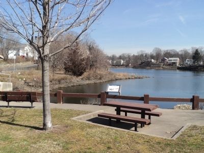
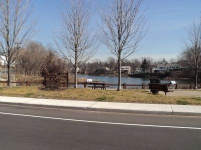
Location. 41° 5.918′ N, 73° 24.345′ W. Marker is in Norwalk, Connecticut, in Fairfield County. Marker is at the intersection of Seaview Avenue and East Avenue, on the left when traveling south on Seaview Avenue. Marker is located in Mill Pond Park. Touch for map. Marker is in this post office area: Norwalk CT 06851, United States of America. Touch for directions.
Other nearby markers. At least 8 other markers are within walking distance of this marker. The Birds (here, next to this marker); A Habitat Renewed (a few steps from this marker); Fitch’s Point (approx. 0.4 miles away); Norwalk Founded (approx. 0.4 miles away); Roger Ludlow (approx. 0.4 miles away); The Marvin Property (approx. 0.7 miles away); Soldiers' and Sailors' Monument (approx. 0.9 miles away); Taylor Farm Park (approx. one mile away). Touch for a list and map of all markers in Norwalk.
More about this marker. Two photographs, courtesy of the Norwalk Museum, appear on the marker. A picture of a mill on the left of the marker has a caption of “This grist mill stood a stone’s throw from this spot, just across the tidal gate where East Avenue meets Seaview Avenue. Built in 1709, the mill could operate for up to six hours at a time utilizing the force of the incoming tide. When grinding flour and corn was no longer profitable, the Tidal Mill was used into the early 20th century as a lathe shop to make lumber and architectural trim for the building industry.” The second photograph depicts a group of people ice skating on a frozen pond. It has a caption of “Recreational ice skating on the Mill Pond has long been a winter treat, even before this photo, circa 1880. Visible in the background are Cemetery Street and Fitch School (center).”
Additional commentary.
1. Mill Pond owner
In 1709 the Norwalk council granted my great-grandfather-times-fourteen, John Gregory, the right to build this grist mill, stipulating it must be completed within one year, and that he had to grind grain of the local towns folk first. He did this and operated the mill, passed it on to his son. Many descendants continue to live in the area, and Gregory Blvd is a few blocks away.
I've written about this in my book, There is a Tide.
— Submitted March 17, 2012, by Easan Katir of Santa Clara, California.
Credits. This page was last revised on June 16, 2016. It was originally submitted on March 13, 2012, by Bill Coughlin of Woodland Park, New Jersey. This page has been viewed 1,260 times since then and 60 times this year. Photos: 1, 2, 3, 4. submitted on March 13, 2012, by Bill Coughlin of Woodland Park, New Jersey.


