Bolivar in Jefferson County, West Virginia — The American South (Appalachia)
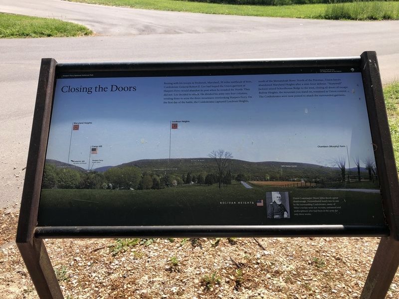
Closing the Doors
Harpers Ferry National Historical Park
— National Park Service, U.S. Department of the Interior —
Erected by National Park Service, U.S. Department of the Interior.
Topics. This historical marker is listed in this topic list: War, US Civil.
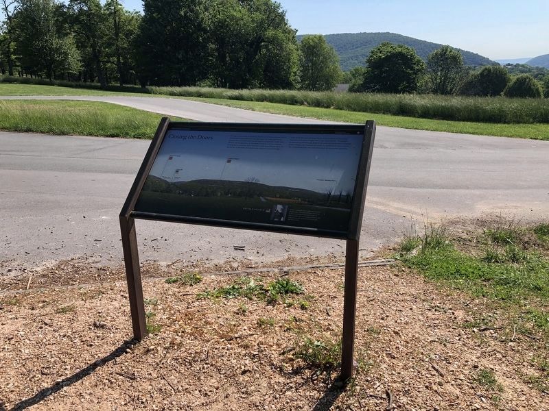
Location. 39° 19.411′ N, 77° 45.662′ W. Marker is in Bolivar, West Virginia, in Jefferson County. Marker is at the intersection of Whitman Avenue and Prospect Avenue (County Road 27/1), on the left when traveling north on Whitman Avenue. Located at the start of a walking trail through Bolivar Heights in Harpers Ferry Historical Park. Touch for map. Marker is in this post office area: Harpers Ferry WV 25425, United States of America. Touch for directions.
Other nearby markers. At least 8 other markers are within walking distance of this marker. Facing the Enemy (a few steps from this marker); The First Year of War (within shouting distance of this marker); Harpers Ferry (within shouting distance of this marker); Bolivar Heights Trail (within shouting distance of this marker); Rats in a Cage (within shouting distance of this marker); Historic Heights (within shouting distance of this marker); Battle of Harpers Ferry / Union Stronghold (within shouting distance of this marker); Casualties of War (about 300 feet away, measured in a direct line). Touch for a list and map of all markers in Bolivar.
More about this marker. The background of the marker is a wide angle photo of the high ground surrounding Harpers Ferry. The Potomac River, Maryland Heights, Camp Hill, Harpers Ferry, Loudoun Heights, the Shenandoah River, the Blue Ridge, and the Chambers (Murphy) Farm are indicated on the photo. In the lower right a portrait of Col. Miles is captioned, Union Commander Dixon Miles faced a great disadvantage. Outnumbered nearly two to one by the surrounding Confederates, many of Miles's troops were raw recruits, untrained and undisciplined, who had been in the army for only three weeks.
Also see . . . 1862 Battle of Harpers Ferry. National Park Service summary of the battle. (Submitted on February 12, 2008, by Craig Swain of Leesburg, Virginia.)
Credits. This page was last revised on May 21, 2021. It was originally submitted on February 12, 2008, by Craig Swain of Leesburg, Virginia. This page has been viewed 1,628 times since then and 23 times this year. Last updated on April 26, 2020, by Larry Gertner of New York, New York. Photos: 1, 2. submitted on May 21, 2021, by Devry Becker Jones of Washington, District of Columbia. • Devry Becker Jones was the editor who published this page.

