Bolivar in Jefferson County, West Virginia — The American South (Appalachia)
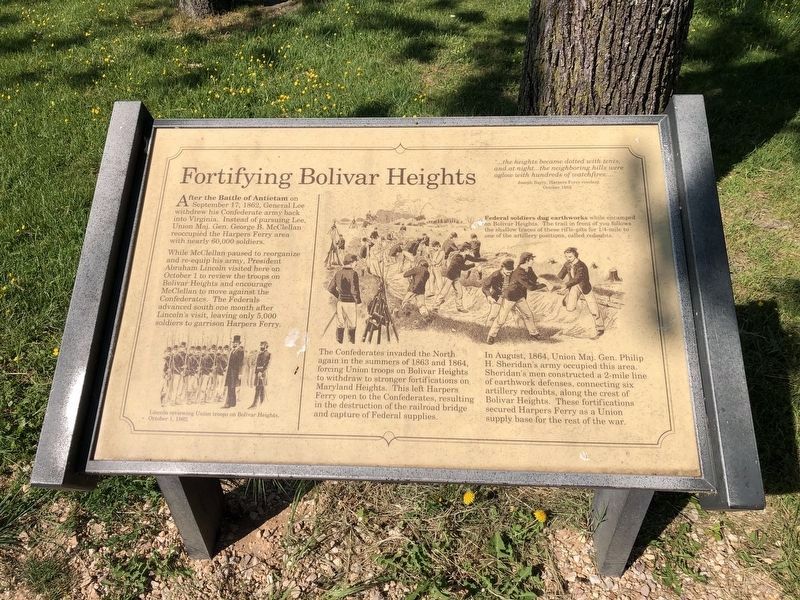
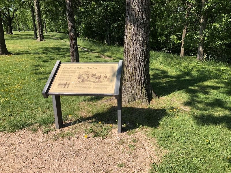
Fortifying Bolivar Heights
"…the heights became dotted with tents, and at night…the neighboring hills were aglow with hundreds of watchfires…"
Joseph Barry, Harpers Ferry resident
October 1862
After the Battle of Antietam on September 17, 1862, General Lee withdrew his Confederate army back into Virginia. Instead of pursuing Lee, Union Maj. Gen. George B. McClellan reoccupied the Harpers Ferry area with nearly 60,000 soldiers.
While McClellan paused to reorganize and re-equip his army, President Abraham Lincoln visited here on October 1 to review the troops on Bolivar Heights and encourage McClellan to move against the Confederates. The Federals advanced south one month after Lincoln's visit, leaving only 5,000 soldiers to garrison Harpers Ferry.
The Confederates invaded the North again in the summers of 1863 and 1864, forcing Union troops on Bolivar Heights to withdraw to stronger fortifications on Maryland Heights. This left Harpers Ferry open to the Confederates resulting in the destruction of the railroad bridge and capture of Federal supplies.
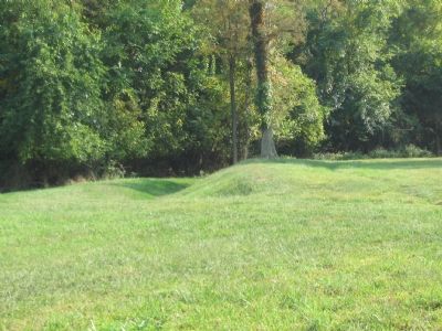
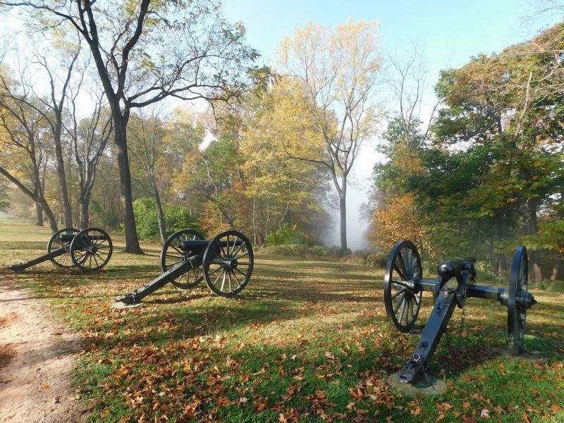
In August, 1864, Union Maj. Gen. Philip H. Sheridan's army occupied this area. Sheridan's men constructed a 2-mile line of earthwork defenses, connecting six artillery redoubts, along the crest of Bolivar Heights. These fortifications secured Harpers Ferry as a Union supply base for the rest of the war.
Topics. This historical marker is listed in this topic list: War, US Civil. A significant historical month for this entry is September 1745.
Location. 39° 19.319′ N, 77° 45.744′ W. Marker is in Bolivar, West Virginia, in Jefferson County. Marker can be reached from Whitman Avenue, 0.2 miles north of West Washington Street (Alternate U.S. 340), on the left when traveling north. Located on the Bolivar Heights trail in the Harpers Ferry National Historical Park. Touch for map. Marker is at or near this postal address: 47A Whitman Ave, Harpers Ferry WV 25425, United States of America. Touch for directions.
Other nearby markers. At least 8 other markers are within walking distance of this marker. Casualties of War (about 400 feet away, measured in a direct line); Confederate Victory (about 400 feet away); A Union Predicament (about 400 feet away); Rats in a Cage (about 600 feet away); The First Year of War (about 600 feet away); Facing the Enemy (about 700 feet away); Closing the Doors (about 700 feet away); Historic Heights (about 700 feet away). Touch for a list and map of all markers in Bolivar.
More about this marker. On the lower left is a depiction of "Lincoln reviewing Union troops on Bolivar Heights, October 1, 1862." In the center is a drawing showing that "Federal soldiers dug earthworks while encamped on Bolivar Heights. The trail in front of you follows the shallow traces
Credits. This page was last revised on May 21, 2021. It was originally submitted on February 13, 2008, by Craig Swain of Leesburg, Virginia. This page has been viewed 1,382 times since then and 23 times this year. Last updated on April 26, 2020, by Larry Gertner of New York, New York. Photos: 1, 2. submitted on May 21, 2021, by Devry Becker Jones of Washington, District of Columbia. 3. submitted on February 13, 2008, by Craig Swain of Leesburg, Virginia. 4. submitted on May 11, 2021, by Bradley Owen of Morgantown, West Virginia. • Devry Becker Jones was the editor who published this page.


