Near Moncks Corner in Berkeley County, South Carolina — The American South (South Atlantic)
Colleton House: “Unmanly Practices” or Legitimate Target?
Inscription.
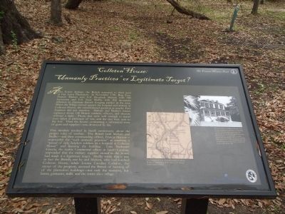
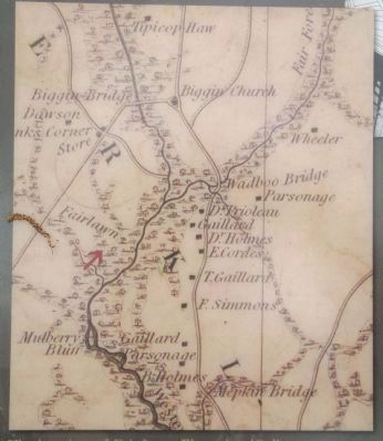
After Eutaw Springs, the British retreated to their post at Fair Lawn Plantation. In November 1781, Brig. Gen. Francis Marion sent Col. Hezekiah Maham with 180 horsemen and Col. Isaac Shelby with 200 mountain riflemen to eliminate British foraging parties in the area. When the Whigs moved against the hospital and armory at Colleton House, the outnumbered garrison at nearby Fort Fairlawn did not interfere. Maham and Shelby’s forces captured about 150 British soldiers, officers, and doctors without a fight. Those that were well enough to travel were taken as prisoners of war, and the rest were sent to the fort. Then the house ~ containing a substantial store of guns and supplies ~ was destroyed by fire.
This incident resulted in much controversy about the proper rules of warfare. The British held Maham and Shelby ~ and their commanding officer, Francis Marion ~ responsible for “such unmanly practices” as attacking a “parcel of sick, helpless soldiers in a hospital at Colleton House” and burning the building. Gen. Nathaniel Greene, the senior Continental officer in South Carolina, responded that the military supplies stored in the house had made it a legitimate target. Shelby wrote that it was in fact the British, not he and Maham, who had torched Colleton House, while Louisa Carolina Colleton, the owner of the property, accused the British of burning all of the plantation buildings ~ not only the mansion, but barns, granaries, mills, and the entire slave village.
Erected 2012 by Francis Marion Trail Commission of Francis Marion University.
Topics and series. This historical marker is listed in these topic lists: Colonial Era • War, US Revolutionary. In addition, it is included in the Francis Marion Trail series list. A significant historical month for this entry is November 1781.
Location. 33° 11.599′ N, 79° 58.31′ W. Marker is near Moncks Corner, South Carolina, in Berkeley County. Marker can be reached from Stony Landing Road. Marker is in the Old Santee Canal Park. Touch for map. Marker is in this post office area: Moncks Corner SC 29461, United States of America. Touch for directions.
Other nearby markers. At least 8 other markers are within one mile of this marker, measured as the crow flies. Fort Fair Lawn: An Archeaological Treasure (a few steps from this marker); Too Formidable to Take (within shouting distance of this marker); C.S.S. David (within shouting distance of this marker); Berkeley County Museum and Heritage Center: A County's Story (within shouting distance of this marker); Berkeley County Confederate Monument (about 300 feet away, measured in a direct line); Stony Landing House (about 600 feet away); Santee Canal (about 700 feet away); Wadboo Barony (approx. 1.1 miles away). Touch for a list and map of all markers in Moncks Corner.
Additional commentary.
1. Marker area update
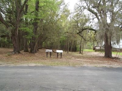
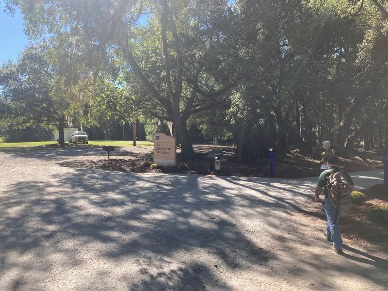
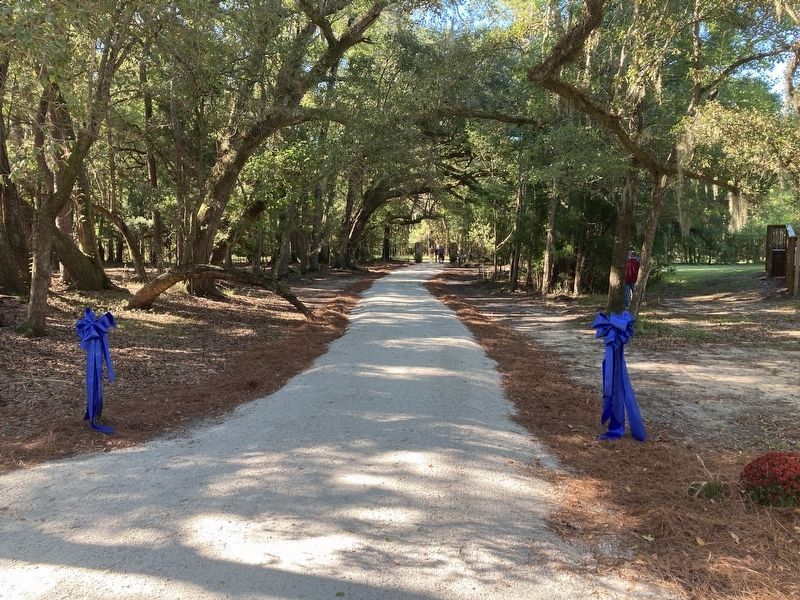
The ground around this marker has changed. The marker now sits at the trailhead to the newly opened Fort Fair Lawn Battlefield. On September 24, 2022 the trailhead opened to the public. The marker is still there, but there is a Fort Fair Lawn Battlefield marker next to it, and the trailhead on the other side. Note To Editor only visible by Contributor and editor
— Submitted September 24, 2022.
Photographed By Anna Inbody, March 24, 2012
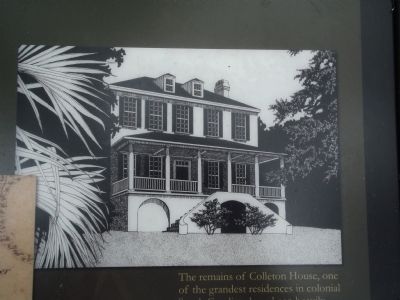
5. Drawing on the Marker
The remains of Colleton House, one of the grandest residences in colonial South Carolina, have been heavily disturbed by residential and industrial development. It probably looked much like Pawley House in nearby Georgetown County, depicted here in a contemporary drawing.Courtesy Dr. Ernst Little Helms, III
Credits. This page was last revised on September 27, 2022. It was originally submitted on March 25, 2012, by Anna Inbody of Columbia, South Carolina. This page has been viewed 2,088 times since then and 159 times this year. Photos: 1, 2. submitted on March 25, 2012, by Anna Inbody of Columbia, South Carolina. 3. submitted on September 24, 2022. 4, 5. submitted on March 25, 2012, by Anna Inbody of Columbia, South Carolina. 6. submitted on September 24, 2022. • Bill Pfingsten was the editor who published this page.
