Near Bolivar in Jefferson County, West Virginia — The American South (Appalachia)
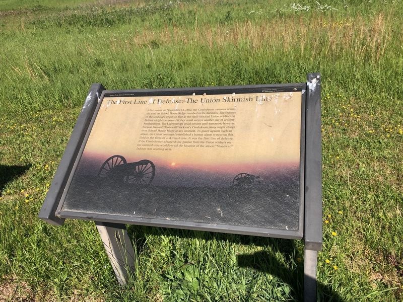
The First Line of Defense: The Union Skirmish Line
Harpers Ferry National Historical Park
— National Park Service, U.S. Department of the Interior —
Photographed By Devry Becker Jones (CC0), May 21, 2021
1. The First Line of Defense: The Union Skirmish Line Marker
Erected by National Park Service, U.S. Department of the Interior.
Topics. This historical marker is listed in this topic list: War, US Civil. A significant historical month for this entry is September 1861.
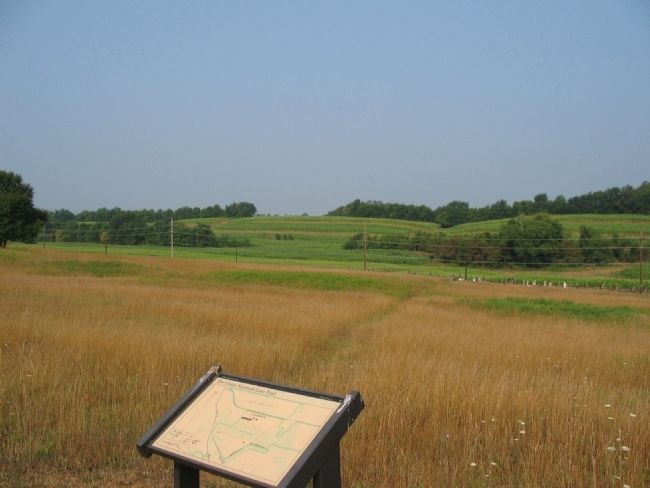
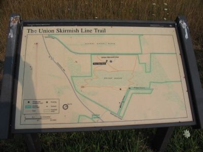
Location. Marker has been reported permanently removed. It was located near 39° 19.371′ N, 77° 45.992′ W. Marker was near Bolivar, West Virginia, in Jefferson County. Marker could be reached from Bakerton Road (County Route 27), on the right when traveling north. Located along the Union Skirmish Line Trail, in the Harpers Ferry National Historical Park. Touch for map. Marker was in this post office area: Harpers Ferry WV 25425, United States of America.
We have been informed that this sign or monument is no longer there and will not be replaced. This page is an archival view of what was.
Other nearby markers. At least 8 other markers are within walking distance of this location. A Position Strong by Nature (a few steps from this marker); A Dangerous Position (about 300 feet away, measured in a direct line); We Began Firing At Will: The 111th New York Regiment (about 700 feet away); Union Skirmish Line (approx. 0.2 miles away); Battle of Harpers Ferry / Jackson Arrives (approx. 0.2 miles away); From Skirmish Line to Burial Ground (approx. 0.2 miles away); School House Ridge, Harpers Ferry, W.V. (approx. 0.2 miles away); Fortifying Bolivar Heights (approx. ¼ mile away). Touch for a list and map of all markers in Bolivar.
More about this marker. The background of the marker is a photograph of cannons in the sunset.
Also see . . . 1862 Battle of Harpers Ferry. National Park Service summary of the battle. (Submitted on February 14, 2008, by Craig Swain of Leesburg, Virginia.)
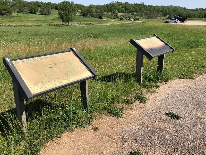
Photographed By Devry Becker Jones (CC0), May 21, 2021
2. The First Line of Defense: The Union Skirmish Line Marker
Credits. This page was last revised on March 19, 2024. It was originally submitted on February 14, 2008, by Craig Swain of Leesburg, Virginia. This page has been viewed 1,666 times since then and 19 times this year. Photos: 1, 2. submitted on May 21, 2021, by Devry Becker Jones of Washington, District of Columbia. 3, 4. submitted on February 14, 2008, by Craig Swain of Leesburg, Virginia. 5. submitted on March 6, 2024, by Mark P Brock-Cancellieri of Baltimore, Maryland.
