Herkimer in Herkimer County, New York — The American Northeast (Mid-Atlantic)
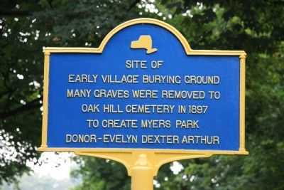
Early Village Burying Ground
Early Village Burying Ground.
Many graves were removed to
Oak Hill Cemetery in 1897
to create Myers Park
Erected by Donated by Evelyn Dexter Arthur.
Topics. This historical marker is listed in these topic lists: Cemeteries & Burial Sites • Settlements & Settlers. A significant historical year for this entry is 1897.
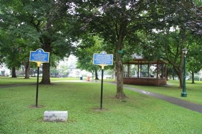
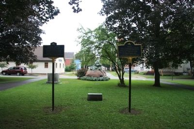
Location. 43° 1.517′ N, 74° 59.393′ W. Marker is in Herkimer, New York, in Herkimer County. Marker is on Park Place west of Park Avenue, on the left when traveling north. This historic marker is located in Myers Park, just west of the "T" intersection of Park Avenue with Park Place and the General Herkimer statue, along a park walkway, next to another New York State Historic Marker. Touch for map. Marker is in this post office area: Herkimer NY 13350, United States of America. Touch for directions.
Other nearby markers. At least 8 other markers are within walking distance of this marker. Fred'ck Staring (here, next to this marker); General Nicolas Herrhheimer (a few steps from this marker); 1834 Jail (approx. ¼ mile away); General Herkimer Takes Command (approx. ¼ mile away); The Thirty-Fourth Regiment (approx. ¼ mile away); Revolution in the Mohawk Valley (approx. ¼ mile away); Fort Dayton (approx. 0.3 miles away); Mohawk War Memorial (approx. 0.8 miles away). Touch for a list and map of all markers in Herkimer.
Credits. This page was last revised on June 16, 2016. It was originally submitted on April 11, 2012, by Dale K. Benington of Toledo, Ohio. This page has been viewed 775 times since then and 28 times this year. Photos: 1, 2, 3. submitted on April 11, 2012, by Dale K. Benington of Toledo, Ohio.


