Taft in Kern County, California — The American West (Pacific Coastal)
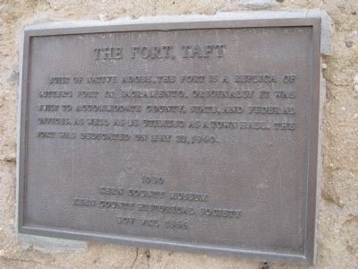
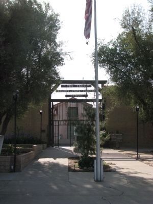
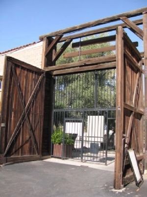
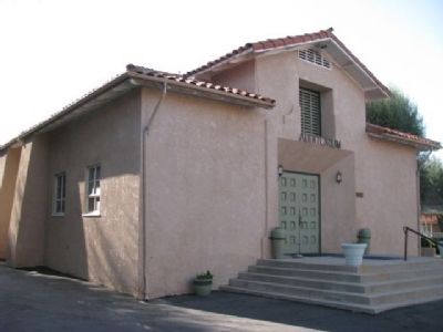
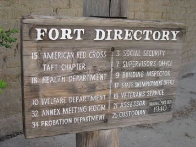
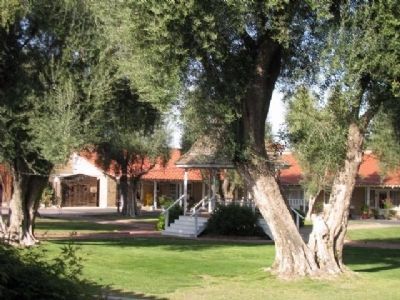
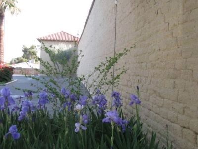
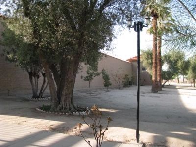
The Fort, Taft
Erected 1980 by Kern County Museum, Kern County Historical Society and E Clampus Vitus #1866.
Topics and series. This historical marker is listed in these topic lists: Forts and Castles • Notable Buildings • Settlements & Settlers. In addition, it is included in the E Clampus Vitus series list. A significant historical date for this entry is May 22, 1940.
Location. 35° 9.02′ N, 119° 27.926′ W. Marker is in Taft, California, in Kern County. Marker is on North 10th Street south of West Ash Street, on the right when traveling south. Touch for map. Marker is at or near this postal address: 915 North 10th Street, Taft CA 93268, United States of America. Touch for directions.
Other nearby markers. At least 8 other markers are within 8 miles of this marker, measured as the crow flies. A different marker also named The Fort (here, next to this marker); History of Taft (approx. 0.8 miles away); Midway Cemetery - 25 Hill (approx. 1.4 miles away); West Kern Oil Museum (approx. 1˝ miles away); Midway Field - Well No. 2-6 (approx. 5.1 miles away); Lakeview Gusher No.1 (approx. 5˝ miles away); Maricopa's Jail (approx. 7 miles away); Tulamniu Indian Site (approx. 7.2 miles away). Touch for a list and map of all markers in Taft.
Related marker. Click here for another marker that is related to this marker. The Marker Located at Sutter's Fort in Sacramento, California
Credits. This page was last revised on March 26, 2021. It was originally submitted on April 13, 2012, by Denise Boose of Tehachapi, California. This page has been viewed 724 times since then and 31 times this year. Last updated on March 25, 2021, by Craig Baker of Sylmar, California. Photos: 1, 2, 3, 4, 5, 6, 7, 8. submitted on April 13, 2012, by Denise Boose of Tehachapi, California. • J. Makali Bruton was the editor who published this page.
