Miller Park in Lynchburg, Virginia — The American South (Mid-Atlantic)
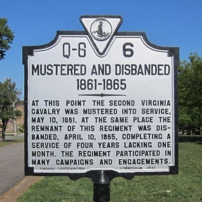
Mustered and Disbanded 1861-1865
Erected 1941 by Virginia Conservation Commission. (Marker Number Q-6-6.)
Topics and series. This historical marker is listed in this topic list: War, US Civil. In addition, it is included in the Virginia Department of Historic Resources (DHR) series list. A significant historical date for this entry is April 10, 1941.
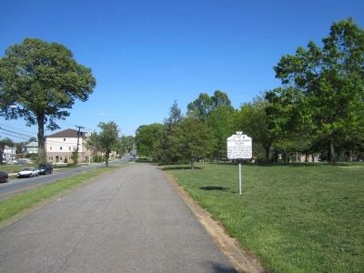
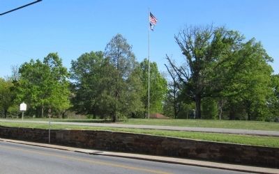
Location. 37° 24.251′ N, 79° 9.87′ W. Marker is in Lynchburg, Virginia. It is in Miller Park. Marker is at the intersection of Park Avenue and Park Lane, on the left when traveling west on Park Avenue. Located in Miller Park. Touch for map. Marker is at or near this postal address: 2100 Park Avenue, Lynchburg VA 24501, United States of America. Touch for directions.
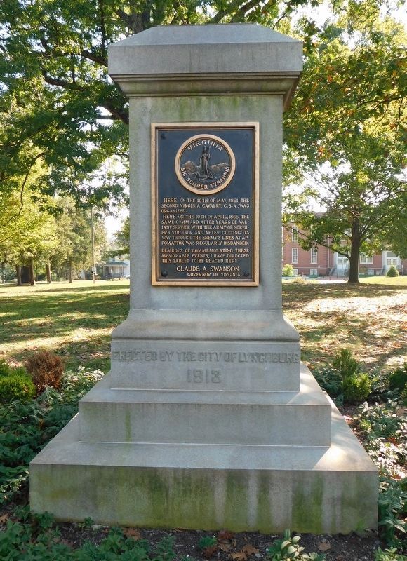
Other nearby markers. At least 8 other markers are within walking distance of this marker. Second Virginia Cavalry, C.S.A. (within shouting distance of this marker); Memorial Avenue (about 800 feet away, measured in a direct line); Edward Christian Glass (1852-1931) (approx. 0.2 miles away); Civil War in Lynchburg (approx. 0.2 miles away); Lucille Chaffin Kent (approx. ¼ mile away); Dr. Robert Withers Morgan (approx. 0.4 miles away); Georgia Weston Morgan (approx. 0.4 miles away); Kemper Street Station (approx. 0.4 miles away). Touch for a list and map of all markers in Lynchburg.
Credits. This page was last revised on February 1, 2023. It was originally submitted on April 14, 2012, by Bernard Fisher of Richmond, Virginia. This page has been viewed 672 times since then and 25 times this year. Photos: 1, 2, 3. submitted on April 14, 2012, by Bernard Fisher of Richmond, Virginia. 4. submitted on March 20, 2021, by Bradley Owen of Morgantown, West Virginia.


