Sandy Hook in Middletown Township in Monmouth County, New Jersey — The American Northeast (Mid-Atlantic)
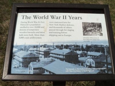
The World War II Years
Inscription.
During World War II, Fort Hancock’s population swelled to over 10,000 and dozens of temporary wooden barracks and mess halls were built. More than 3,000 coast artillerymen were stationed here for New York Harbor defense, and thousands of others passed through for staging and training before shipping out to Europe.
Fort Hancock was in operation from 1895 to 1974.
Erected by Gateway National Recreation Area. (Marker Number 16.)
Topics and series. This historical marker is listed in these topic lists: Forts and Castles • War, World II. In addition, it is included in the New Jersey - Fort Hancock Walking Tour series list. A significant historical year for this entry is 1895.
Location. 40° 28.155′ N, 74° 0.203′ W. Marker is in Middletown Township, New Jersey, in Monmouth County. It is in Sandy Hook. Marker is at the intersection of Atlantic Drive and Kilpatrick Road, on the right when traveling north on Atlantic Drive. Marker is located in the Fort Hancock area in the Sandy Hook Unit of Gateway National Recreation Area. Touch for map. Marker is in this post office area: Highlands NJ 07732, United States of America. Touch for directions.
Other nearby markers. At least 8 other markers are within walking distance of this marker. Fort Hancock Officers’ Club (about 600 feet away, measured in a direct line); Site of Master Mechanic’s Quarters (about 700 feet away); Fort Hancock (about 700 feet away); Chemical Laboratory (approx. 0.2 miles away); Locomotive Engineer’s House (approx. 0.2 miles away); Battery Potter (approx. 0.2 miles away); Proving Ground Foreman’s House (approx. 0.2 miles away); Navigating Sandy Hook Waters (approx. 0.2 miles away).
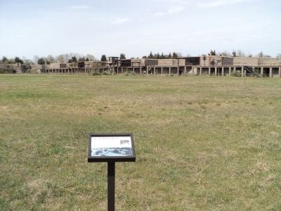
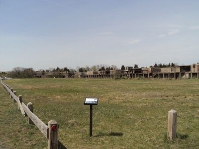
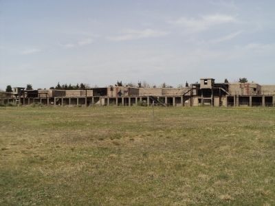
More about this marker. The background of the marker features a photo of “The barracks as they looked when they were new, about 1941, with Nine Gun Battery in the background.” A photo in the upper right of the marker depicts “Christmas 1944, in one of Fort Hancock’s temporary mess halls.”
Credits. This page was last revised on February 7, 2023. It was originally submitted on April 15, 2012, by Bill Coughlin of Woodland Park, New Jersey. This page has been viewed 505 times since then and 12 times this year. Photos: 1, 2, 3, 4. submitted on April 15, 2012, by Bill Coughlin of Woodland Park, New Jersey.


