Historic District - North in Savannah in Chatham County, Georgia — The American South (South Atlantic)
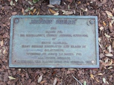
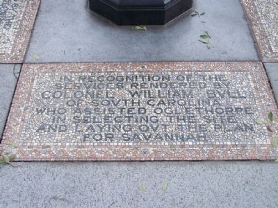
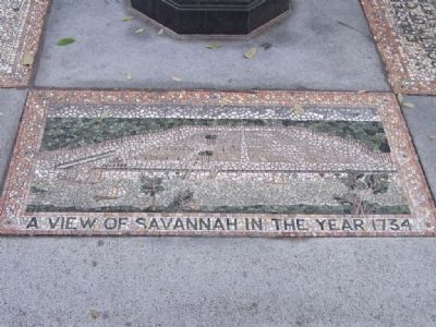
Johnson Square
1733
Named for His Excellency, Robert Johnson, Governor
of
South Carolina.
First square designated and named by
Oglethorpe.
Intended to serve as model for
all other squares.
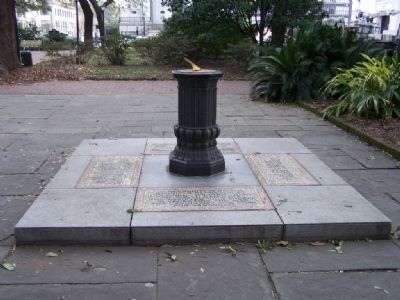
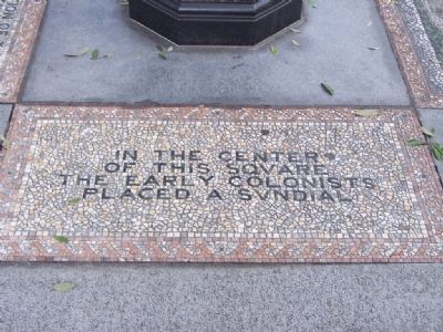
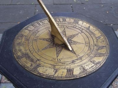
A sundial was placed here for General use.
Topics. This historical marker is listed in these topic lists: Colonial Era • Settlements & Settlers. A significant historical year for this entry is 1733.
Location. 32° 4.791′ N, 81° 5.491′ W. Marker is in Savannah, Georgia, in Chatham County. It is in the Historic District - North. Marker is at the intersection of Bull Street and West Bryan Street, on the right when traveling east on Bull Street. Behind the Nathanael Greene Monument, in Johnson Square. Touch for map. Marker is in this post office area: Savannah GA 31401, United States of America. Touch for directions.
Other nearby markers. At least 8 other markers are within walking distance of this marker. Nathanael Greene Monument (here, next to this marker); Washington’s Southern Tour (here, next to this marker); City Plan of Savannah (within shouting distance of this marker); John Herndon Mercer 1909 - 1976 (within shouting distance of this marker); Christ Church (within shouting distance of this marker); Savannah Historic District (within shouting distance of this marker); a different marker also named Johnson Square (within shouting distance of this marker); a different marker also named Christ Church (within shouting distance of this marker). Touch for a list and map of all markers in Savannah.
Related marker. Click here for another marker that is related to this marker. To better understand the relationship, study marker
Credits. This page was last revised on February 8, 2023. It was originally submitted on February 18, 2008, by Mike Stroud of Bluffton, South Carolina. This page has been viewed 1,778 times since then and 30 times this year. Photos: 1, 2, 3, 4, 5, 6, 7. submitted on February 18, 2008, by Mike Stroud of Bluffton, South Carolina. • Craig Swain was the editor who published this page.
