New Stanton in Westmoreland County, Pennsylvania — The American Northeast (Mid-Atlantic)
Rural Free Delivery
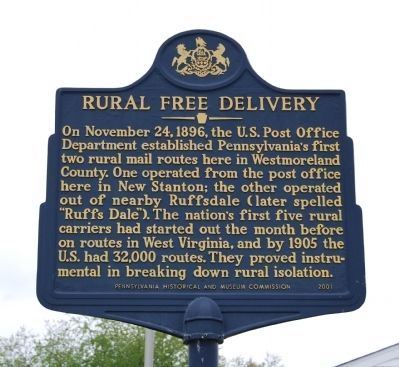
On November 24, 1896, the United States Post Office Department established Pennsylvania's first two rural mail routes here in Westmoreland County. One operated from the post office here in New Stanton; the other operated out of nearby Ruffsdale (later spelled "Ruffs Dale"). The nation's first five rural carriers had started out the month before on routes in West Virginia, and by 1905 the United States had 32,000 routes. They proved instrumental in breaking down rural isolation.
Erected 2001 by Pennsylvania Historical and Museum Commission.
Topics and series. This historical marker is listed in these topic lists: Government & Politics • Industry & Commerce. In addition, it is included in the Pennsylvania Historical and Museum Commission, and the Postal Mail and Philately series lists. A significant historical date for this entry is November 24, 1896.
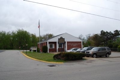
Location. 40° 12.955′ N, 79° 36.596′ W. Marker is in New Stanton, Pennsylvania, in Westmoreland County. Marker is at the intersection of West Pennsylvania Avenue and Post Road, on the right when traveling east on West Pennsylvania Avenue. Located at the United State Post Office in New Stanton. Touch for map. Marker is in this post office area: New Stanton PA 15672, United States of America. Touch for directions.
Other nearby markers. At least 8 other markers are within 6 miles of this marker, measured as the crow flies. Braddock's Military Road 1755 Salt Lick Camp (approx. 1.8 miles away); War Memorial (approx. 2 miles away); East Huntingdon Soldiers Monument (approx. 3.2 miles away); Fort Allen (approx. 4˝ miles away); Sion Church-Herolds Settlement (approx. 4˝ miles away); a different marker also named Fort Allen (approx. 4.8 miles away); Morewood Massacre (approx. 5.3 miles away); Standard Shaft Mine and Coke Works (approx. 5.3 miles away).
Also see . . .
1. Rural Free Delivery. Wikipedia entry (Submitted on July 5, 2022, by Larry Gertner of New York, New York.)
2. Rural Free Delivery - Behind the Marker. Explore PA History website entry (Submitted on April 30, 2012, by Mike Wintermantel of Pittsburgh, Pennsylvania.)
Credits. This page was last revised on July 5, 2022. It was originally submitted on April 28, 2012, by Mike Wintermantel of Pittsburgh, Pennsylvania. This page has been viewed 658 times since then and 23 times this year. Last updated on May 1, 2012. Photos: 1. submitted on August 23, 2013, by Mike Wintermantel of Pittsburgh, Pennsylvania. 2. submitted on April 28, 2012, by Mike Wintermantel of Pittsburgh, Pennsylvania. • Bill Pfingsten was the editor who published this page.

