Boise City in Cimarron County, Oklahoma — The American South (West South Central)
The Mormon Battalion in the Oklahoma Panhandle
Inscription.
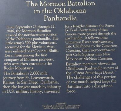
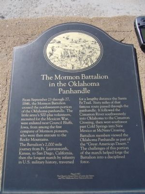
From September 23 through 27, 1846, the Mormon Battalion crossed the northwestern portion of the Oklahoma panhandle. The little army's 500-plus volunteers, recruited for the Mexican War, were enlisted near Council Bluffs, Iowa, from among the first company of Mormon pioneers, who were then enroute to the Rocky Mountains.
The Battalion's 2,000 mile journey from Ft. Leavenworth, Kansas, to San Diego, California, then the longest march by infantry in U.S. military history, traversed for a lengthy distance the Santa Fe Trail. Sixty miles of that famous route passed through the panhandle. It followed the Cimarron River southwesterly into Oklahoma to the Cimarron Crossing, then west-southwest past Cold Springs into New Mexico at McNees Crossing. Battalion members viewed the Oklahoma panhandle as part of the "Great American Desert." The challenges of this portion of the march helped forge the Battalion into a disciplined force.
Erected 1983 by The Church of Jesus Christ of Latter-day Saints and The Oklahoma State Historical Society.
Topics and series. This historical marker is listed in this topic list: War, Mexican-American. In addition, it is included in the Mormon Battalion series list. A significant historical month for this entry is September 1895.
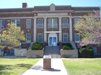
Location. 36° 43.8′ N, 102° 30.787′ W. Marker is in Boise City, Oklahoma, in Cimarron County. Marker is at the intersection of Main Street (State Highway 325) and Cimarron Avenue (U.S. 385), on the left when traveling west on Main Street. Marker is on the north side of the court house circle. Touch for map. Marker is in this post office area: Boise City OK 73933, United States of America. Touch for directions.
Other nearby markers. At least 3 other markers are within 10 miles of this marker, measured as the crow flies. Boise City Bombed (within shouting distance of this marker); Santa Fe Trail (approx. 9.3 miles away); a different marker also named The Santa Fe Trail (approx. 9.3 miles away).
Also see . . . Mormon Battalion. Wikipedia (Submitted on May 16, 2012, by Bernard Fisher of Richmond, Virginia.)
Credits. This page was last revised on June 16, 2016. It was originally submitted on May 11, 2012, by Bill Kirchner of Tucson, Arizona. This page has been viewed 1,125 times since then and 69 times this year. Photos: 1, 2, 3. submitted on May 11, 2012, by Bill Kirchner of Tucson, Arizona. • Bernard Fisher was the editor who published this page.


