Guymon in Texas County, Oklahoma — The American South (West South Central)
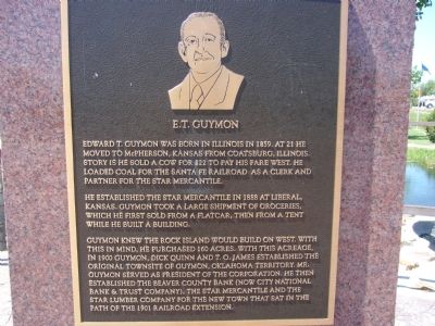
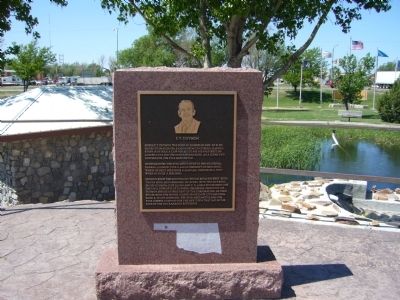
E.T. Guymon
He established the Star Mercantile in 1888 at Liberal, Kansas. Guymon took a large shipment of groceries, which he first sold from a flatcar, then from a tent while he built a building.
Guymon knew the Rock Island would build on west. With this in mind, he purchased 160 acres. With this acreage, in 1900 Guymon, Dick Quinn and T.O. James established the original townsite of Guymon, Oklahoma Territory. Mr. Guymon served as president of the corporation. He then established the Beaver County Bank (now City National Bank & Trust Company), the Star Mercantile and the Star Lumber Company for the new town that sat in the path of the 1901 Railroad extension.
Topics. This historical marker is listed in this topic list: Settlements & Settlers. A significant historical year for this entry is 1859.
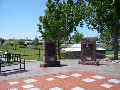
Location. 36° 40.657′ N, 101° 28.413′ W. Marker is in Guymon, Oklahoma, in Texas County. Marker can be reached from the intersection of U.S. 412 and U.S. 54. Marker is in Centennial Park. Enter from Park Avenue on east side of park. Touch for map. Marker is in this post office area: Guymon OK 73942, United States of America. Touch for directions.
Other nearby markers. At least 6 other markers are within walking distance of this marker. Guymon, Texas County, Oklahoma (here, next to this marker); The Cow (a few steps from this marker); The Pig (within shouting distance of this marker); Oil & Gas (within shouting distance of this marker); Panhandle Area Natural Gas (approx. 0.3 miles away); "Trees" of the Prairie (approx. 0.3 miles away).
Credits. This page was last revised on June 16, 2016. It was originally submitted on May 11, 2012, by Bill Kirchner of Tucson, Arizona. This page has been viewed 689 times since then and 26 times this year. Photos: 1, 2, 3. submitted on May 11, 2012, by Bill Kirchner of Tucson, Arizona. • Bernard Fisher was the editor who published this page.


