Near Richmond in Chesterfield County, Virginia — The American South (Mid-Atlantic)
Camp Beall
Henry Lea Graves, 1862
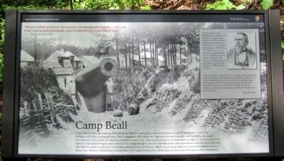
From 1862 to 1865, the training of Confederate Marines took place in the area in front of you - Camp Beall - seen in the background of the photograph here. Three companies of Confederate Marines were permanently stationed here, the largest concentration of Confederate Marines anywhere in the South. After participating in the battle here on May 15, 1862, Confederate Marines immediately began construction of the camp, though it was not until that winter that permanent structures were finalized. The Marines often complained of boredom and inactivity, yet Drewry’s Bluff remained an important post that could he attacked at any time. Marines trained here at Camp Beall later transferred to ships of the navy or other posts throughout the Confederacy.
(sidebar)
Lloyd J. Beall was an 1830 graduate of the U.S. Military Academy, who fought in the Black Hawk, Seminole and Mexican Wars, before rising the rank of major. When the Civil War came, he was appointed commandant the Confederate States Marine Corps in 1861. He served in that capacity until the end of the war. Beall died in Richmond in 1887.
“The corps was composed of enlisted men, many of whom were old soldiers and commissioned officers, a number of whom had seen service before in the U.S. marine corps and elsewhere. The corps was thoroughly trained and disciplined, and in all encounters with the enemy the officers and men were conspicuous for their courage and good conduct.”
-Lloyd J. Beall
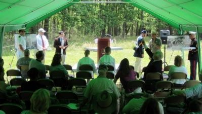
Erected 2012 by Richmond National Battlefield Park.
Topics. This historical marker is listed in these topic lists: Forts and Castles • War, US Civil. A significant historical year for this entry is 1862.
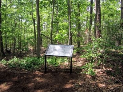
Location. 37° 25.364′ N, 77° 25.428′ W. Marker is near Richmond, Virginia, in Chesterfield County. Marker can be reached from Fort Darling Road, half a mile north of Bellwood Road. This marker is located in the Drewry’s Bluff (Fort Darling) unit of Richmond National Battlefield Park. Touch for map. Marker is at or near this postal address: 7600 Fort Darling Road, Richmond VA 23237, United States of America. Touch for directions.
Other nearby markers. At least 8 other markers are within walking distance of this marker. Fort Darling (within shouting distance of this marker); A Permanent Post (within shouting distance of this marker); The First Marine Medal of Honor (about 300 feet away, measured in a direct line); "A Very Neat Chapel" (about 400 feet away); Covered Way (about 600 feet away); Hot Shot and Wooden Ships (about 600 feet away); Drewry’s Bluff (about 600 feet away); Drewry’s Bluff Trail (about 600 feet away). Touch for a list and map of all markers in Richmond.
Also see . . .
1. Drewry's Bluff. Richmond National Battlefield Park (Submitted on May 14, 2012, by Bernard Fisher of Richmond, Virginia.)
2. Drewry’s Bluff. Civil War Richmond (Submitted on May 14, 2012, by Bernard Fisher of Richmond, Virginia.)
Credits. This page was last revised on June 16, 2016. It was originally submitted on May 14, 2012, by Bernard Fisher of Richmond, Virginia. This page has been viewed 936 times since then and 124 times this year. Photos: 1, 2, 3. submitted on May 14, 2012, by Bernard Fisher of Richmond, Virginia.


