Glencarlyn in Arlington in Arlington County, Virginia — The American South (Mid-Atlantic)
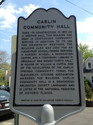
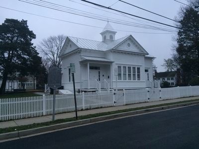
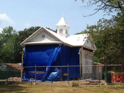
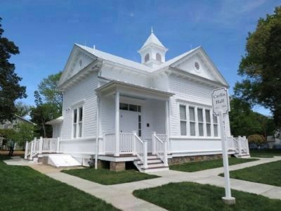
Carlin Community Hall
Erected 2003 by Arlington County, Virginia.
Topics. This historical marker is listed in these topic lists: Churches & Religion • Education. A significant historical year for this entry is 1892.
Location. 38° 51.783′ N, 77° 7.58′ W. Marker is in Arlington, Virginia, in Arlington County. It is in Glencarlyn. Marker is on South 4th Street west of South Kensington Street, on the left when traveling east. Touch for map. Marker is at or near this postal address: 5711 South 4th Street, Arlington VA 22204, United States of America. Touch for directions.
Other nearby markers. At least 8 other markers are within walking distance of this marker. The Ball-Carlin Cemetery (within shouting distance of this marker); John Ball House (about 400 feet away, measured in a direct line); Enslaved Here (about 400 feet away); Moses Ball Grant (approx. 0.2 miles away); Carlin Springs (approx. ¼ mile away); Glencarlyn Station (approx. ¼ mile away); Original Federal Boundary Stone, District of Columbia, Southwest 7 (approx. 0.3 miles away); Mary Carlin House (approx. 0.4 miles away). Touch for a list and map of all markers in Arlington.
Credits. This page was last revised on February 1, 2023. It was originally submitted on May 15, 2012, by Kevin Vincent of Arlington, Virginia. This page has been viewed 742 times since then and 31 times this year. Photos: 1. submitted on May 15, 2012, by Kevin Vincent of Arlington, Virginia. 2. submitted on March 15, 2016, by J. Makali Bruton of Accra, Ghana. 3. submitted on July 9, 2012, by Kevin Vincent of Arlington, Virginia. 4. submitted on May 16, 2013, by Kevin Vincent of Arlington, Virginia. • Bernard Fisher was the editor who published this page.


