Mackinac Island in Mackinac County, Michigan — The American Midwest (Great Lakes)
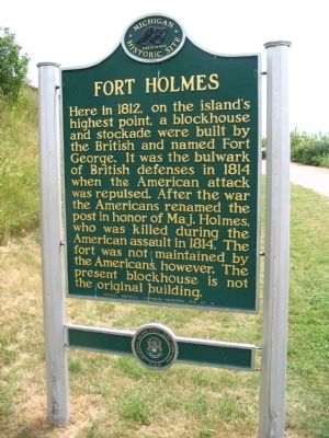
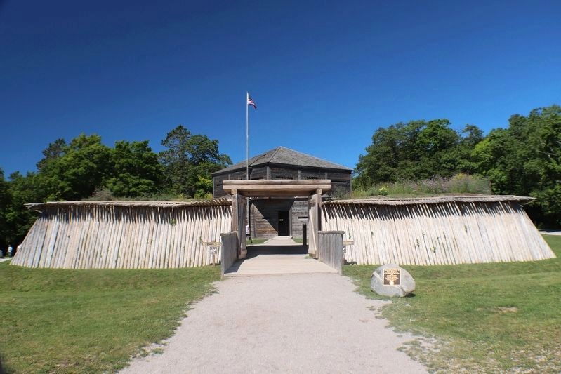
Fort Holmes
Erected 1959 by Michigan Historical Commission. (Marker Number 78.)
Topics and series. This historical marker is listed in these topic lists: Forts and Castles • War of 1812. In addition, it is included in the Michigan Historical Commission series list. A significant historical year for this entry is 1812.
Location. 45° 51.48′ N, 84° 36.993′ W. Marker is on Mackinac Island, Michigan, in Mackinac County. Marker can be reached from Fort Holmes Road, half a mile south of Garrison Road. Located in Mackinac State Park. Touch for map. Marker is at or near this postal address: 7029 Huron Rd, Mackinac Island MI 49757, United States of America. Touch for directions.
Other nearby markers. At least 8 other markers are within walking distance of this marker. A different marker also named Fort Holmes (within shouting distance of this marker); Skull Cave (about 600 feet away, measured in a direct line); Home Of The Ancestors (about 600 feet away); Post Cemetery (approx. 0.2 miles away); Sugar Loaf (approx. ¼ mile away); Scout Barracks / Parade Ground (approx. 0.3 miles away); Greany Grove (approx. 0.3 miles away); Historic Fort Mackinac (approx. 0.3 miles away). Touch for a list and map of all markers in Mackinac Island.
Also see . . . Fort Holmes. Wikipedia (Submitted on May 16, 2012, by Cameron Zwart of Belding, Michigan.)
Credits. This page was last revised on August 30, 2022. It was originally submitted on May 16, 2012, by Cameron Zwart of Belding, Michigan. This page has been viewed 658 times since then and 14 times this year. Photos: 1. submitted on May 16, 2012, by Cameron Zwart of Belding, Michigan. 2, 3. submitted on August 20, 2022, by Trevor L Whited of Kokomo, Indiana. 4. submitted on May 16, 2012, by Cameron Zwart of Belding, Michigan. • Bernard Fisher was the editor who published this page.


