Stronghold in Frederick County, Maryland — The American Northeast (Mid-Atlantic)
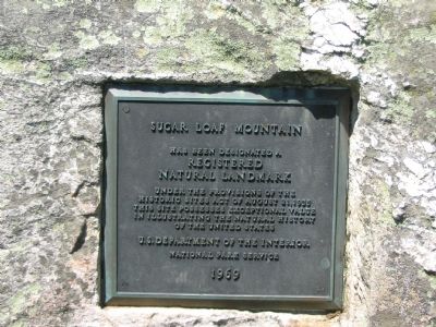
Sugar Loaf Mountain
Has been designated a Registered Natural Landmark under the provisions of the Historic Sites Act of August 21, 1935. This site possesses exceptional value in illustrating the natural history of the United States.
Erected 1969 by U.S. Department of the Interior / National Park Service.
Topics. This historical marker is listed in these topic lists: Landmarks • Natural Features. A significant historical year for this entry is 1935.
Location. 39° 15.094′ N, 77° 23.63′ W. Marker is in Stronghold, Maryland, in Frederick County. Marker is at the intersection of Comus Road (Maryland Route 95) and Sugarloaf Mountain Road, on the right on Comus Road. On the left side of the entrance to Sugarloaf Mountain Park. Touch for map. Marker is at or near this postal address: 7901 Comus Road, Dickerson MD 20842, United States of America. Touch for directions.
Other nearby markers. At least 8 other markers are within 3 miles of this marker, measured as the crow flies. Sugarloaf Mountain (within shouting distance of this marker); Barnesville (approx. 2.2 miles away); a different marker also named Barnesville (approx. 2.2 miles away); 1862 Antietam Campaign (approx. 2.4 miles away); Mount Ephraim Crossroads (approx. 2.4 miles away); Comus Inn (approx. 2.4 miles away); a different marker also named 1862 Antietam Campaign (approx. 2˝ miles away); Gettysburg Campaign (approx. 2˝ miles away).
More about this marker. Sugarloaf 3,300 acres is all located in Frederick County Maryland. Marker indicate "Sugar Loaf" but the mountain name is "Sugarloaf". GPS coordinates indicate that the marker is located in Dickerson, MD, which is in Montgomery County.
Also see . . . Stronghold on Sugarloaf Mountain. Website homepage (Submitted on March 11, 2022, by Larry Gertner of New York, New York.)
Additional commentary.
1. FDR and Sugarloaf
President Franklin Delano Roosevelt once had an eye to acquire the mountain as a presidential retreat, but was unable to secure an agreement. The Strong family was unwilling to part with the property.
— Submitted July 17, 2007, by Craig Swain of Leesburg, Virginia.
2. Monadnock
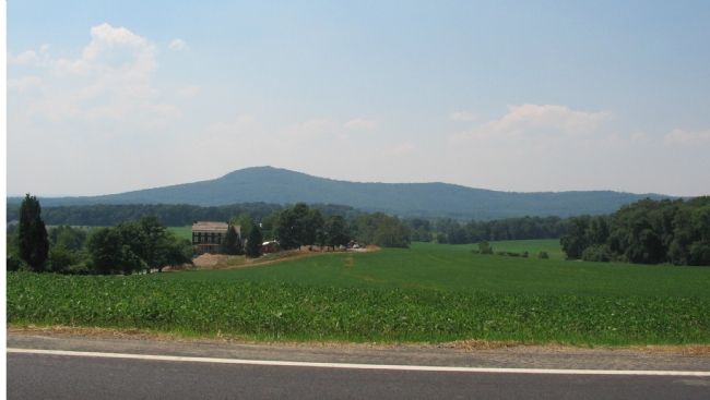
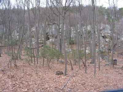
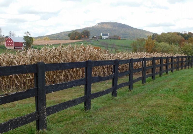
Sugarloaf is an example of a monadnock, a geologic feature where a more resistant rock base is left behind as surrounding rock is eroded away. The mountain is mainly composed of quartzite, a harder rock than the sandstone frequently encountered in the area.
— Submitted July 17, 2007, by Craig Swain of Leesburg, Virginia.
3. Monocacy Aqueduct
Quartzite quarried here at Sugarloaf was used to construct the Monocacy Aqueduct on the Chesapeake and Ohio Canal just south of the mountain.
— Submitted July 17, 2007, by Craig Swain of Leesburg, Virginia.
Credits. This page was last revised on March 11, 2022. It was originally submitted on July 17, 2007, by Craig Swain of Leesburg, Virginia. This page has been viewed 4,262 times since then and 42 times this year. Last updated on May 19, 2012, by Christie Kefauver of Dickerson, Maryland. Photos: 1, 2, 3, 4. submitted on July 17, 2007, by Craig Swain of Leesburg, Virginia. 5. submitted on March 7, 2021, by Bradley Owen of Morgantown, West Virginia. • Bill Pfingsten was the editor who published this page.


