Middleburg Heights in Cuyahoga County, Ohio — The American Midwest (Great Lakes)
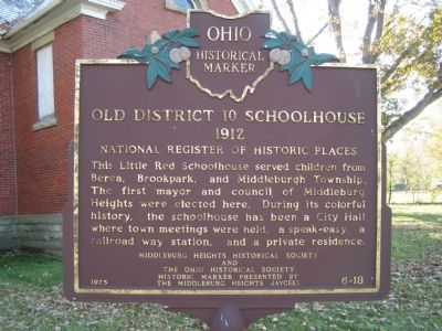
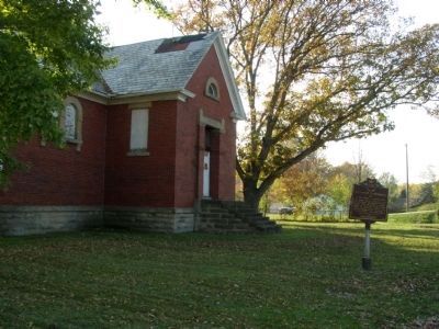
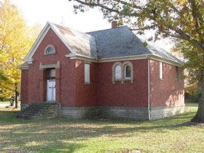
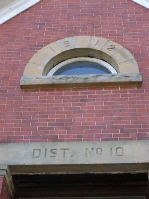
Old District 10 Schoolhouse
1912
Erected 1975 by Middleburg Heights Historical Society, The Ohio Historical Society, Middleburg Heights Jaycees. (Marker Number 6-18.)
Topics and series. This historical marker is listed in these topic lists: Education • Notable Buildings. In addition, it is included in the Ohio Historical Society / The Ohio History Connection series list.
Location. 41° 23.302′ N, 81° 48.903′ W. Marker is in Middleburg Heights, Ohio, in Cuyahoga County. Marker is at the intersection of Sheldon Road and Fry Road on Sheldon Road. Touch for map. Marker is in this post office area: Cleveland OH 44130, United States of America. Touch for directions.
Other nearby markers. At least 8 other markers are within 3 miles of this marker, measured as the crow flies. Berea District Seven School (approx. 1.7 miles away); Berea Union Depot (approx. 2.1 miles away); Woodvale Union Cemetery (approx. 2.1 miles away); Ogilvy Chapel of St. Thomas Episcopal Church (approx. 2.2 miles away); Baldwin University (approx. 2.2 miles away); Lyceum Square (approx. 2.4 miles away); First Congregational United Church of Christ of Berea (approx. 2.4 miles away); Adams Street Cemetery (approx. 2.4 miles away).
Credits. This page was last revised on June 16, 2016. It was originally submitted on February 20, 2008, by Christopher Light of Valparaiso, Indiana. This page has been viewed 1,748 times since then and 36 times this year. Photos: 1, 2, 3, 4. submitted on February 20, 2008, by Christopher Light of Valparaiso, Indiana. • Craig Swain was the editor who published this page.


