Near Nancy in Pulaski County, Kentucky — The American South (East South Central)
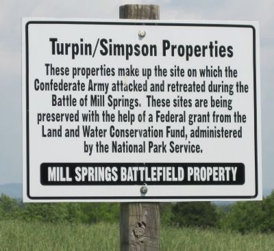
Turpin/Simpson Properties
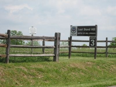
Last Stand Hill
— Battle of Mill Springs —
These properties make up the site on which the Confederate Army attacked and retreated during the Battle of Mill Springs. These sites are being preserved with the help of a Federal grant from the Land and Water Conservation Fund administered by the National Park Service.
Erected by Mill Springs Battlefield Association.
Topics. This historical marker is listed in this topic list: War, US Civil.
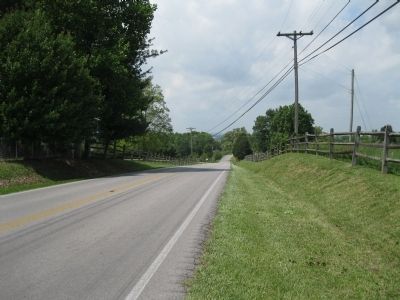
Location. 37° 3.081′ N, 84° 44.214′ W. Marker is near Nancy, Kentucky, in Pulaski County. Marker is on Kentucky Route 235, 0.4 miles south of Kentucky Route 761, on the left when traveling south. The marker is across the street from a parking pulloff in front of the Fairview Cemetery. Touch for map. Marker is in this post office area: Nancy KY 42544, United States of America. Touch for directions.
Other nearby markers. At least 8 other markers are within walking distance of this marker. Rutledge's Battery (about 600 feet away, measured in a direct line); The Last Stand (about 600 feet away); Confederate Retreat (approx. 0.2 miles away); The Union Advance (approx. ¼ mile away); Victory! (approx. ¼ mile away); "Confederate Mass Grave" (approx. 0.3 miles away); Confederate Dead (approx. 0.3 miles away); Dawn of Battle (approx. 0.3 miles away). Touch for a list and map of all markers in Nancy.
More about this marker. The marker is Stop #3 of the Mill Springs Battlefield Driving Tour.
Regarding Turpin/Simpson Properties. Following the Battle of Mill Springs, the retreating Confederates attempted to delay the pursuing Union army, and allow the rest of the Confederate units to escape by a rearguard action (including artillery) at this location.
Also see . . . Battle of Mills Spring. Wikipedia entry (Submitted on October 30, 2022, by Larry Gertner of New York, New York.)
Additional keywords. Zollicoffer, Thomas
Credits. This page was last revised on October 30, 2022. It was originally submitted on May 18, 2012, by David Graff of Halifax, Nova Scotia. This page has been viewed 514 times since then and 16 times this year. Last updated on May 29, 2012, by David Graff of Halifax, Nova Scotia. Photos: 1, 2, 3. submitted on May 18, 2012, by David Graff of Halifax, Nova Scotia. • Craig Swain was the editor who published this page.


