Yorktown in Arlington in Arlington County, Virginia — The American South (Mid-Atlantic)
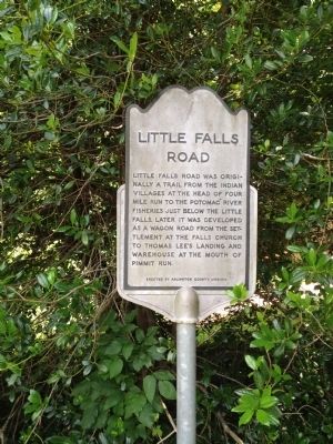
Little Falls Road
Erected by Arlington County, Virginia.
Topics. This historical marker is listed in these topic lists: Colonial Era • Native Americans • Roads & Vehicles.
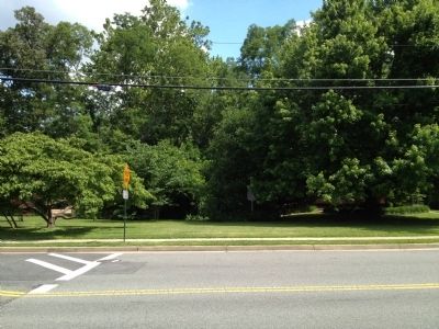
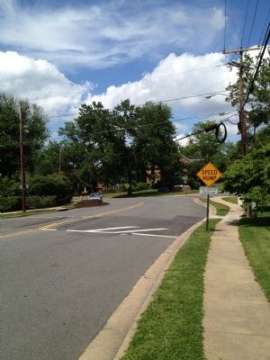
Location. 38° 54.41′ N, 77° 8.32′ W. Marker is in Arlington, Virginia, in Arlington County. It is in Yorktown. Marker is at the intersection of Little Falls Road and North George Mason Drive on Little Falls Road. Touch for map. Marker is in this post office area: Arlington VA 22207, United States of America. Touch for directions.
Other nearby markers. At least 8 other markers are within 2 miles of this marker, measured as the crow flies. John Saegmuller House (about 300 feet away, measured in a direct line); George Nicholas Saegmuller (about 800 feet away); Original Federal Boundary Stone, District of Columbia, Northwest 2 (approx. 0.6 miles away); Birchwood (approx. 0.9 miles away); Wunder's Crossroads (approx. one mile away); RADM Paul A. Holmberg (approx. 1.1 miles away); Minor's Hill (approx. 1.1 miles away); Original Federal Boundary Stone, District of Columbia, Northwest 1 (approx. 1.1 miles away). Touch for a list and map of all markers in Arlington.
Credits. This page was last revised on February 1, 2023. It was originally submitted on May 30, 2012, by Kevin Vincent of Arlington, Virginia. This page has been viewed 754 times since then and 49 times this year. Photos: 1, 2, 3. submitted on June 18, 2012, by Kevin Vincent of Arlington, Virginia. • Bill Pfingsten was the editor who published this page.


