Greensburg in Westmoreland County, Pennsylvania — The American Northeast (Mid-Atlantic)
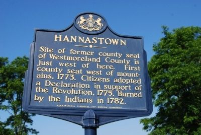
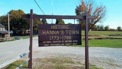
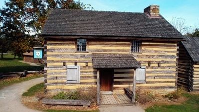
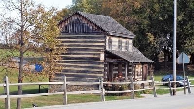
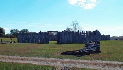
Hannastown
Erected 1946 by Pennsylvania Historical and Museum Commission.
Topics and series. This historical marker is listed in these topic lists: Native Americans • War, US Revolutionary. In addition, it is included in the Pennsylvania Historical and Museum Commission series list. A significant historical year for this entry is 1773.
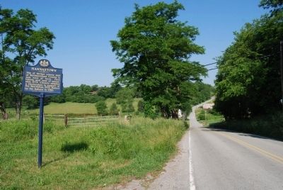
Location. 40° 20.571′ N, 79° 29.956′ W. Marker is in Greensburg, Pennsylvania, in Westmoreland County. Marker is at the intersection of New Alexandria Road (U.S. 119) and Forbes Trail Road, on the right when traveling south on New Alexandria Road. Touch for map. Marker is in this post office area: Greensburg PA 15601, United States of America. Touch for directions.
Other nearby markers. At least 8 other markers are within 4 miles of this marker, measured as the crow flies. Toll House (approx. 3.2 miles away); Huff Mansion (approx. 3.4 miles away); One Academy Hill Place (approx. 3˝ miles away); Arthur Saint Clair (approx. 3˝ miles away); Train Station at Greensburg (approx. 3.6 miles away); Westmoreland County (approx. 3.6 miles away); Lincoln Highway Heritage Corridor (approx. 3.7 miles away); Sisters of Charity of Seton Hill (approx. 3.7 miles away). Touch for a list and map of all markers in Greensburg.
Also see . . . Hanna's Town. From the Westmoreland County Historical Society (Submitted on September 18, 2013, by Mike Wintermantel of Pittsburgh, Pennsylvania.)
Credits. This page was last revised on June 16, 2016. It was originally submitted on May 31, 2012, by Mike Wintermantel of Pittsburgh, Pennsylvania. This page has been viewed 873 times since then and 38 times this year. Photos: 1, 2. submitted on May 31, 2012, by Mike Wintermantel of Pittsburgh, Pennsylvania. 3, 4, 5, 6. submitted on October 31, 2015, by Forest McDermott of Masontown, Pennsylvania.
