Near Hardy in Pike County, Kentucky — The American South (East South Central)
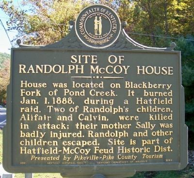
Site of Randolph McCoy House
Presented by Pikeville-Pike County Tourism.
Erected 2001 by Kentucky Historical Society, Kentucky Department of Highways. (Marker Number 2062.)
Topics and series. This historical marker is listed in these topic lists: Settlements & Settlers • Waterways & Vessels. In addition, it is included in the Kentucky Historical Society, and the The Hatfield-McCoy Feud series lists. A significant historical date for this entry is January 1, 1888.
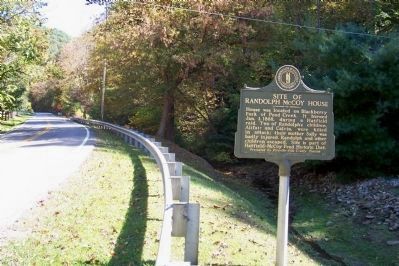
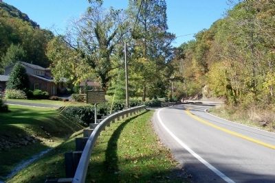
Location. 37° 36.196′ N, 82° 12.85′ W. Marker is near Hardy, Kentucky, in Pike County. Marker is on Kentucky Route 319, 0.2 miles east of Compton Road, on the left when traveling east. Touch for map. Marker is in this post office area: Hardy KY 41531, United States of America. Touch for directions.
Other nearby markers. At least 8 other markers are within 3 miles of this marker, measured as the crow flies. McCoy Well (within shouting distance of this marker); Randal McCoy's Well (about 300 feet away, measured in a direct line); The Real McCoy Homestead Uncovered (about 300 feet away); Baby’s Grave Site (approx. 1.9 miles away); Sally McCoy / Grave of Sally McCoy (approx. 1.9 miles away); a different marker also named Baby’s Grave Site (approx. 1.9 miles away); Hog Trial / Election Fight (approx. 2˝ miles away); Hog Trial Site (approx. 2˝ miles away). Touch for a list and map of all markers in Hardy.
Additional keywords. Feuds, Hatfield and McCoys
Credits. This page was last revised on November 20, 2019. It was originally submitted on June 1, 2012, by Forest McDermott of Masontown, Pennsylvania. This page has been viewed 4,627 times since then and 59 times this year. Photos: 1, 2, 3. submitted on June 1, 2012, by Forest McDermott of Masontown, Pennsylvania. • Craig Swain was the editor who published this page.


