Panhandle in Carson County, Texas — The American South (West South Central)
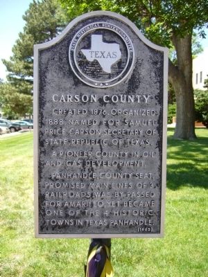
Carson County
A pioneer county in oil and gas development.
Panhandle, county seat, promised main lines of 3 railroads, was by-passed for Amarillo, yet became one of the 4 historic towns in Texas Panhandle.
Erected 1965 by State Historical Survey Committee. (Marker Number 736.)
Topics. This historical marker is listed in this topic list: Settlements & Settlers. A significant historical year for this entry is 1876.
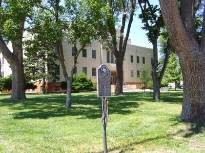
Location. 35° 20.736′ N, 101° 22.863′ W. Marker is in Panhandle, Texas, in Carson County. Marker is at the intersection of Main Street and East 5th Street, on the right when traveling south on Main Street. Marker is on the northwest corner. Touch for map. Marker is in this post office area: Panhandle TX 79068, United States of America. Touch for directions.
Other nearby markers. At least 8 other markers are within walking distance of this marker. A different marker also named Carson County (within shouting distance of this marker); Old County Bookmobile (within shouting distance of this marker); Texas Panhandle Pioneers: The Simms Brothers (about 300 feet away, measured in a direct line); Purvines Ranch Home (about 300 feet away); Temple Lea Houston (about 300 feet away); Pioneer Dugout (about 300 feet away); The Square House (about 300 feet away); Callaghan Memorial Library (about 300 feet away). Touch for a list and map of all markers in Panhandle.
Credits. This page was last revised on June 16, 2016. It was originally submitted on June 1, 2012, by Bill Kirchner of Tucson, Arizona. This page has been viewed 508 times since then and 8 times this year. Photos: 1, 2. submitted on June 1, 2012, by Bill Kirchner of Tucson, Arizona. • Bernard Fisher was the editor who published this page.

