Near Guinea in Caroline County, Virginia — The American South (Mid-Atlantic)
Fairfield Plantation
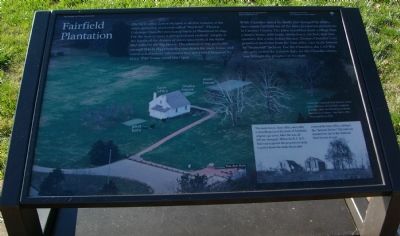
While Chandler raised his family and managed his affairs, slaves made Fairfield one of the more prosperous plantations in Caroline County. The place resembled more a village than a simple home, with barns, smokehouse, kitchen, and slave quarters. For a time before the war, Thomas Chandler’s son practiced medicine from the farm office later made famous by “Stonewall” Jackson. For the Chandlers, the Civil War abruptly ended the halcyon days; for the Chandler slaves, war brought the prospect of freedom.
(caption of picture): Today the National Park Service owns just a fraction of Fairfield’s original acreage. Only one building from the plantation remains – the farm office where Jackson died.
Sidebar: The main house, farm office, and other outbuildings lay at the heart of Fairfield’s original 740 acres. After the war, all fell into disrepair. When the R.F.&P. Railroad acquired the property in 1909, it pulled down the main house and restored the farm office, calling it the “Jackson Shrine.” The railroad donated the site to the National Park Service in 1937.
Erected by National Park Service.
Topics and series. This historical marker is listed in these topic lists: African Americans • Agriculture • Railroads & Streetcars • War, US Civil. In addition, it is included in the Washington’s Burgess Routes series list. A significant historical year for this entry is 1845.
Location. 38° 8.89′ N, 77° 26.419′ W. Marker is near Guinea, Virginia, in Caroline County. Marker can be reached from Stonewall Jackson Road (Virginia Route 606) near Guinea Station Road (Virginia Route 634). Touch for map. Marker is in this post office area: Woodford VA 22580, United States of America. Touch for directions.
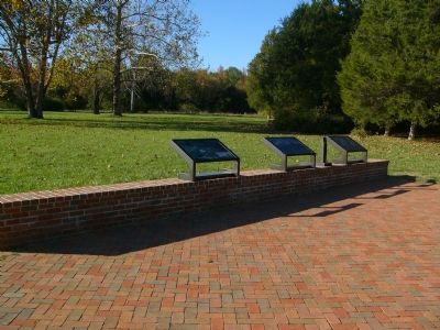
Other nearby markers. At least 8 other markers are within 5 miles of this marker, measured as the crow flies. War Comes to Fairfield (here, next to this marker); A Staggering Blow (here, next to this marker); Stonewall Jackson Died (here, next to this marker); Fredericksburg and Spotsylvania National Military Park (within shouting distance of this marker); Guinea Station (within
Photographed By Kevin W., November 3, 2007
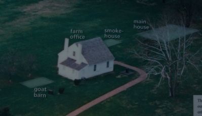
2. Closeup of Fairfield Plantation picture on marker
This picture identifies where other buildings on the site once stood, including the main building which was destroyed by fire and subsequently removed. Compare this with the picture on the adjacent marker, "War Comes to Fairfield."
Photographed By Kevin W., November 3, 2007
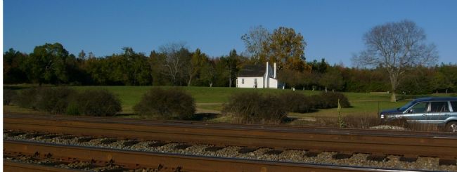
5. Fairfield Plantation from the Railroad Tracks
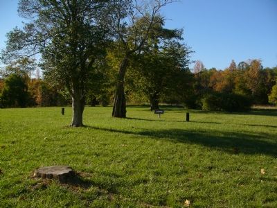
Fairfield Plantation was significant to the Confederate effort due to its proximity to Guinea Station. The area became a staging area for troops moving north, Union prisoners being transported to prison camps to the south, and critically injured Confederates awaiting transportation to better medical treatment centers in Richmond, VA.
Credits. This page was last revised on February 2, 2021. It was originally submitted on November 5, 2007, by Kevin W. of Stafford, Virginia. This page has been viewed 2,740 times since then and 69 times this year. Last updated on February 22, 2008, by Christopher Busta-Peck of Shaker Heights, Ohio. Photos: 1, 2, 3, 4, 5. submitted on November 5, 2007, by Kevin W. of Stafford, Virginia.
