Near Hagerman in Chaves County, New Mexico — The American Mountains (Southwest)
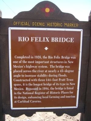
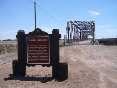
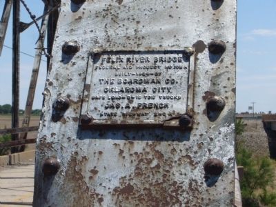
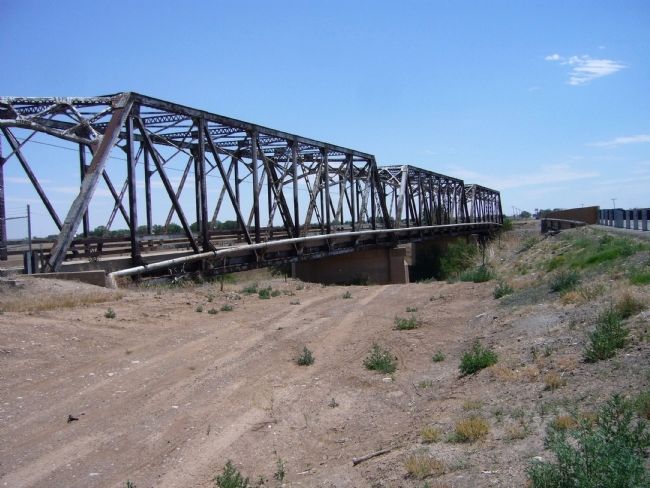
Rio Felix Bridge
Erected by New Mexico Historic Preservation Division.
Topics. This historical marker is listed in these topic lists: Bridges & Viaducts • Roads & Vehicles. A significant historical year for this entry is 1926.
Location. 33° 7.93′ N, 104° 20.173′ W. Marker is near Hagerman, New Mexico, in Chaves County. Marker is on State Road 2, half a mile south of East Chicksaw Road, on the left when traveling south. Touch for map. Marker is in this post office area: Hagerman NM 88232, United States of America. Touch for directions.
Other nearby markers. At least 4 other markers are within 17 miles of this marker, measured as the crow flies. Blackdom Townsite (approx. 6.6 miles away); Roswell Prisoner of War Camp (approx. 11.1 miles away); Civilian Conservation Corps (approx. 11.9 miles away); Walker Air Force Base (approx. 16.9 miles away).

Photographed By Bill Kirchner, May 3, 2012
2. Back of Rio Felix Bridge Marker
Points of Interest
New Mexico's Historic Markers typically have a map on the back side showing the location of other OSHM's. This is an excellent source of information when exploring for other Historical Markers and locations.
New Mexico's Historic Markers typically have a map on the back side showing the location of other OSHM's. This is an excellent source of information when exploring for other Historical Markers and locations.
Credits. This page was last revised on June 16, 2016. It was originally submitted on June 8, 2012, by Bill Kirchner of Tucson, Arizona. This page has been viewed 1,169 times since then and 66 times this year. Photos: 1, 2, 3, 4, 5. submitted on June 8, 2012, by Bill Kirchner of Tucson, Arizona. • Syd Whittle was the editor who published this page.


