West Point in Orange County, New York — The American Northeast (Mid-Atlantic)
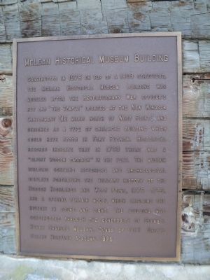
McLean Historical Museum Building
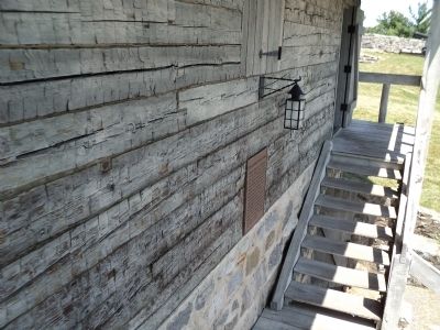
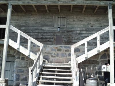
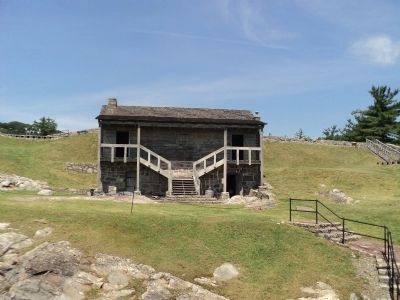
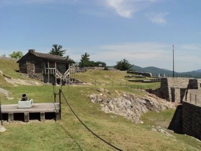
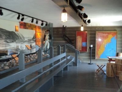
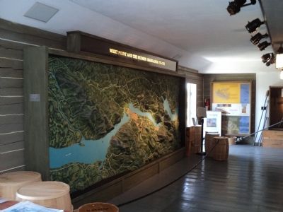
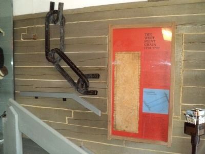
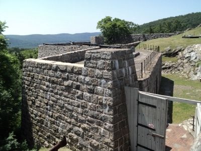
Constructed in 1975 on top of a 1909 structure, the McLean Historical Museum Building was modeled after the Revolutionary War officer’s hut and “The Temple” located at the New Windsor Cantonment (12 miles north of West Point) and designed as a type of barracks building which could have stood in Fort Putnam. Historical records indicate that in 1780 there was a “slight wooden barrack” in the fort. The museum building contains historical and archeological displays portraying the military history of the Hudson Highlands and West Point, 1775-1783, and a special terrain model which explains the history in sound and light. The building was constructed through the generosity of Colonel Henry Charles McLean, Class of 1912 United States Military Academy, 1975.
Topics. This historical marker is listed in these topic lists: Forts and Castles • Notable Buildings. A significant historical year for this entry is 1975.
Location. 41° 23.407′ N, 73° 57.836′ W. Marker is in West Point, New York, in Orange County. Marker can be reached from Delafield Road, on the right when traveling north. Marker is located inside Fort Putnam on the grounds of the United States Military Academy. Touch for map. Marker is in this post office area: West Point NY 10996, United States of America. Touch for directions.
Other nearby markers. At least 8 other markers are within walking distance of this marker. Archeology, 1974 (a few steps from this marker); Bronze Field Guns (a few steps from this marker); Casemates (within shouting distance of this marker); Artillery and Mortars (within shouting distance of this marker); Original Embrasure (within shouting distance of this marker); Fort Putnam (within shouting distance of this marker); Revolutionary War Fortifications (within shouting distance of this marker); Sherburne’s Redoubt (within shouting distance of this marker). Touch for a list and map of all markers in West Point.
Credits. This page was last revised on June 16, 2016. It was originally submitted on June 9, 2012, by Bill Coughlin of Woodland Park, New Jersey. This page has been viewed 438 times since then and 14 times this year. Photos: 1, 2, 3, 4, 5, 6, 7, 8, 9. submitted on June 9, 2012, by Bill Coughlin of Woodland Park, New Jersey.
